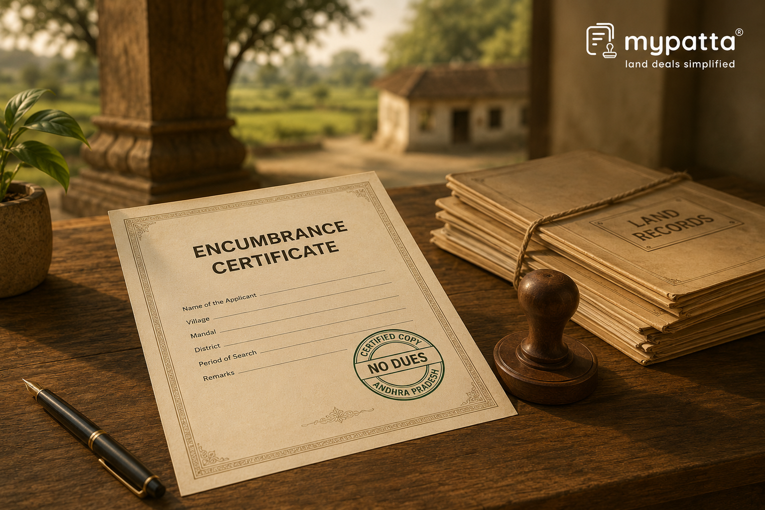
How to Download AP Encumbrance Certificate in Andhra Pradesh
You can get the AP Encumbrance Certificate online easily via mypatta without visiting the Sub-Registrar office.
- Open mypatta and log in or sign up if needed.
- Go to property documents, ensure “Andhra Pradesh” is selected as the state, then tap the “Encumbrance Certificate” icon.
- Enter required information.
- Tap “Search”
- Once Encumbrance Certificate is available to download, tap “View Document”. You can now save or share or download this document in PDF on your device.
What Does Boundary or Survey Verification Mean in a Land Transaction?
Boundary or survey verification means confirming whether the land described in the documents is the same land that exists on the ground. It checks the identity, location, extent and physical limits of the property.
This is different from ownership verification. Ownership verification checks whether a person has legal title to the land. Boundary or survey verification checks whether the land parcel has been correctly identified and whether its recorded details match the actual site.
In a land transaction in Andhra Pradesh, boundary or survey verification usually involves checking:
- village and mandal;
- survey number;
- sub-division number;
- khata or revenue-account details;
- recorded extent;
- land classification;
- registered deed schedule;
- adjoining survey numbers or neighbouring lands;
- FMB, LP Map or village map;
- Encumbrance Certificate and registered document history; and
- physical possession and site location.
For example, an Encumbrance Certificate may show that a registered sale deed or mortgage was recorded against a particular survey number. That may help verify the registration history of the land. However, it does not by itself confirm whether the physical boundaries shown at the site are correct.
What Details Should Be Checked in Encumbrance Certificate?
An Encumbrance Certificate should be checked carefully because it helps identify how the property appears in registered transaction records.
| Detail in Encumbrance Certificate | What Should Be Checked | Why It Matters |
|---|
| SRO / Registration Office | Whether the EC relates to the correct Sub-Registrar Office jurisdiction | Helps ensure the search was made in the correct registration area |
| Search Period | Whether the EC covers the required period, such as 13 years, 30 years or a longer period | A short search period may miss older transactions |
| Document Number | Whether the registered document number matches the title deed or link documents | Helps connect the EC entry with the relevant registered deed |
| Registration Year | Whether the year matches the deed being verified | Helps avoid confusion between similarly numbered documents |
| Village and Mandal | Whether the property location matches the title and land records | Similar survey numbers may exist in different villages |
| Survey Number | Whether the survey number matches the deed, Adangal, ROR-1B and FMB | Identifies the land parcel being checked |
| Sub-division Number | Whether the land was later divided, corrected or renumbered | Helps connect old and current survey records |
| Extent / Area | Whether the area in the EC entry matches the deed and current records | Helps detect shortage, excess land or wrong parcel claims |
| Nature of Transaction | Whether the entry is sale, gift, mortgage, release, partition, settlement or court attachment | Helps understand the registered burden or transfer affecting the property |
| Parties to the Transaction | Whether the names match the title chain and present claimant | Supports continuity of registered transactions |
| Property Description | Whether the description corresponds with the deed schedule and land records | Helps verify that the same land is being referred to |
A mismatch in survey number, extent, village, document number or parties should not be ignored. It may indicate an incomplete EC search, wrong survey number, old record, later subdivision, registration error or competing transaction.
How to Compare Encumbrance Certificate With Current Survey and Land Records?
Encumbrance Certificate should be compared with current Andhra Pradesh land and survey records before it is used for boundary or survey verification.
The following checks can be followed:
- Start with the registered deed or title document relating to the land.
- Note the document number, registration year, SRO, village, mandal, survey number, sub-division number and extent.
- Compare these details with the entries shown in the Encumbrance Certificate.
- Check whether the EC search was made for the correct SRO jurisdiction and correct search period.
- Compare the survey number and sub-division number with current ROR-1B and Mee Bhoomi land-record details.
- Compare the extent in the EC entry with the registered deed, AP Adangal, ROR-1B and Pattadar Passbook.
- Check whether any later registered transaction, mortgage, release, partition, settlement, attachment or court-related entry affects the same survey number.
- Check whether the survey number was later subdivided, corrected, renumbered or converted.
- Compare the deed schedule with the FMB, LP Map or village map to verify the physical location and measurements.
- Inspect the site to confirm whether the land shown on the ground corresponds with the deed, land records and survey map.
- Where the EC, deed and land records do not match, obtain a fresh EC, certified copies of relevant registered documents, mutation history, survey clarification or official demarcation.
This comparison is important because an Encumbrance Certificate reflects registered transactions for a property during the search period. It does not independently measure land or identify the physical boundary on the ground.
What Can Encumbrance Certificate Not Verify by Itself?
Encumbrance Certificate cannot, by itself, finally verify the exact physical boundary of the land.
Standing alone, it may not prove:
- exact on-ground measurements of the property;
- final demarcated boundary;
- whether the land shown at the site is the same land described in the EC;
- whether the survey number was later subdivided, corrected or renumbered;
- whether the recorded extent is still physically available;
- whether there is encroachment on any side;
- whether neighbouring landholders accept the boundary;
- whether the FMB or LP Map supports the same boundary;
- whether the land classification has changed;
- whether all unregistered arrangements or family claims are reflected;
- whether possession matches the registered transaction history;
- whether the property is free from boundary, possession or survey disputes; or
- whether the person relying on the EC has complete and valid title.
For example, an Encumbrance Certificate may show that a sale deed was registered for a particular survey number. However, if the FMB shows a different measurement or if part of the land is occupied by a neighbouring owner, the EC alone cannot resolve the boundary issue.
Similarly, a Nil Encumbrance Certificate only means that no registered encumbrance was found for the searched details and period. It does not prove that the boundaries are correct, that the search details were complete, or that there are no physical disputes affecting the land.
Encumbrance Certificate is therefore useful for checking registration history, but it should not replace land records, survey maps, title documents or physical boundary verification.
Which Documents Should Be Checked Along With Encumbrance Certificate?
Encumbrance Certificate should be checked with title documents, current land records and survey records to confirm whether the same land parcel is being identified across documents.
| Document | Role in Boundary / Survey Verification |
|---|
| Registered Sale Deed / Title Deed | Provides the property schedule, extent and boundary description |
| Certified Copies of Registered Documents | Help verify registered transfers, mortgages, releases or partitions appearing in the EC |
| Mother Deed and Link Documents | Help confirm whether the same land continued through earlier transactions |
| Current ROR-1B | Shows the current revenue-record position of the land |
| AP Adangal | Supports survey number, extent, land classification and cultivation-related details |
| Pattadar Passbook | Supports current pattadar and land details where applicable |
| Mee Bhoomi Land Record | Helps verify current land-record details available in the State system |
| Mutation Records | Show whether revenue records were updated after transfer, inheritance or partition |
| FMB | Helps verify field-level measurements and survey details |
| LP Map / Village Map | Helps locate the land in relation to adjoining survey numbers |
| Subdivision or Correction Proceedings | Explain changes in survey number, extent or classification |
| Conversion Records | Relevant where agricultural land was converted for non-agricultural use |
| Prohibited Property Records | Help check whether the land is affected by transfer restrictions |
| Physical Survey / Demarcation Report | Confirms the on-ground boundary and measurements |
| Neighbouring Land Records | Help verify adjoining survey numbers and boundary consistency |
| Court or Revenue Orders | Relevant where a boundary, possession, classification or survey dispute has been decided |
The strongest boundary verification is created when the Encumbrance Certificate, registered deed schedule, current ROR-1B, AP Adangal, Pattadar Passbook, FMB, LP Map, mutation records and physical survey all identify the same land parcel.
If these records do not match, the discrepancy should be resolved before relying on the Encumbrance Certificate for sale, purchase, partition, construction, loan, litigation or any other land-related purpose.
FAQs
- 1. Can Encumbrance Certificate be used for boundary verification in Andhra Pradesh?+
Yes. Encumbrance Certificate can be used as a supporting record for boundary verification by checking registered transaction details, survey number, document number, extent and property description. However, it should be compared with current land and survey records.
- 2. Can Encumbrance Certificate prove exact land boundaries by itself?+
No. Encumbrance Certificate is mainly a registration-history document. Exact boundaries should be verified through ROR-1B, AP Adangal, Pattadar Passbook, FMB, LP Map and physical survey or demarcation.
- 3. What should be checked in an Encumbrance Certificate before relying on it?+
Check the SRO, search period, document number, registration year, village, mandal, survey number, sub-division, extent, transaction type, parties and property description
- 4. What if the Encumbrance Certificate and current survey records show different details?+
The difference should be checked through registered deeds, certified copies, current ROR-1B, AP Adangal, mutation records, FMB, LP Map and official survey clarification. The document should not be relied on until the mismatch is explained
- 5. Which documents should be checked along with Encumbrance Certificate?+
Check the registered deed, certified copies of relevant registered documents, Mother Deed, link documents, current ROR-1B, AP Adangal, Pattadar Passbook, Mee Bhoomi land record, mutation records, FMB, LP Map and physical survey or demarcation report.
Shivangi
Real Estate Content Writer
Shivangi is a real estate content writer with 3+ years of experience helping readers understand property documentation, land records, and legal requirements through clear and actionable content.