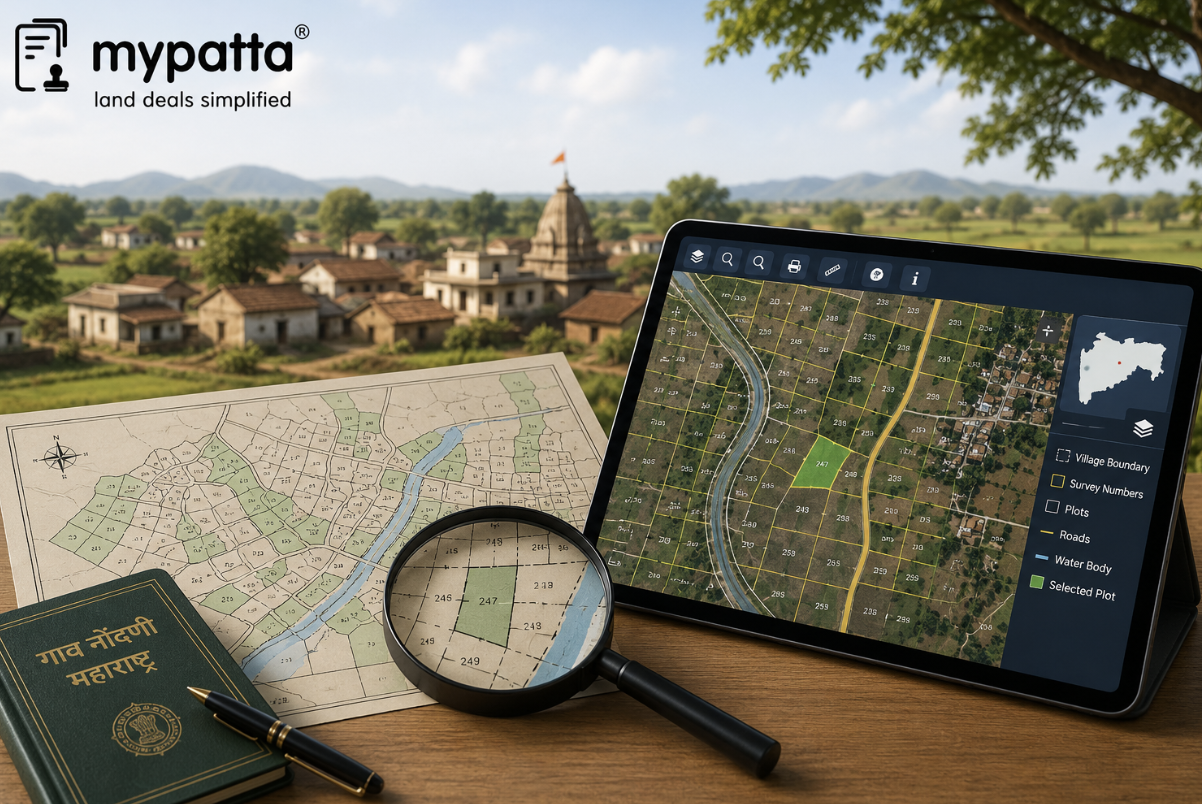
How to Download Village Map in Maharashtra
You can get the Village Map in Maharashtra online easily via mypatta without visiting the Sub-Registrar office.
- Open mypatta and log in or sign up if needed.
- Go to property documents, ensure “Maharashtra” is selected as the state, then tap the “Village Map” icon.
- Enter required information.
- Tap “Search”
- Once the Village Map is available to download, tap “View Document”. You can now save or share or download this document in PDF on your device.
How Does a Village Map Help Identify the Location of Land?
A village map helps identify land by placing the relevant survey or Gat number within the complete cadastral arrangement of the revenue village.
A registered deed or 7/12 extract may state the village, survey number, Gat number, Hissa and extent, but these textual details do not always make it easy to understand where the property is physically situated. The village map provides the wider geographical context.
It may help show:
- the position of the parcel within the village;
- the surrounding survey or Gat numbers;
- the village boundary;
- roads, pathways and cart tracks;
- streams, nalas and other water features;
- gaothan or settlement areas;
- government or common land; and
- adjoining villages or large permanent features.
Maharashtra’s Land Records Department currently provides an official service for viewing and downloading village maps, city-survey maps and parcel maps. Mahabhumi also identifies Mahabhunakasha as the State’s service for maps connected with land records.
The location should be identified through the full combination of:
District + Taluka + Village + Survey or Gat Number + Hissa or Subdivision
A survey number alone is not sufficient because the same number may exist in several villages. Similarly, selecting the correct village but the wrong Hissa may lead to a neighbouring or parent parcel rather than the land being purchased.
The village map is particularly useful where the deed describes the property through adjoining lands or permanent features. For example, the deed may state that the property is bounded by a public road on one side, a nala on another and two specified survey numbers on the remaining sides. The village map can help determine whether that broad arrangement corresponds with the parcel claimed by the seller.
However, the names of adjoining owners mentioned in an older deed may no longer be current. Neighbouring properties may have been sold, inherited or subdivided. Due diligence should therefore focus primarily on adjoining parcel numbers and permanent features rather than only on personal names.
The map can also reveal whether the property is situated:
- near the edge of the village;
- inside a large parent survey number;
- beside a public feature;
- without visible direct road access; or
- in an area where parcel numbering has substantially changed.
These observations are starting points for verification. They do not, by themselves, decide ownership or legal access.
How to Compare the Village Map With Bhunaksha and Revenue Records
The village map, Bhunaksha and revenue records should identify the same land, but each serves a different purpose.
| Record | Main function | Details to compare |
|---|
| Village map | Shows the wider arrangement of land across the village | Survey or Gat numbers, roads, natural features, village boundary and adjoining parcels |
| Bhunaksha plot map | Focuses on a selected parcel within the digital cadastral system | Parcel outline, plot number, vertices, border lengths and map layers |
| 7/12 extract | Shows the current rural revenue-record position | Landholder, survey or Gat number, Hissa, extent, classification and mutation references |
| 8A extract | Shows the landholder’s account-level holdings | Khata or account details and parcels recorded under the holder |
| Ferfar record | Explains changes made in the revenue records | Mutation reason, document or event, affected parcel and certification status |
| Registered deed | Records the transaction and property transferred | Parties, survey identity, extent, boundaries and rights conveyed |
Mahabhunakasha currently provides location and plot searches along with plot information, layers and reports. Public plot reports may display a selected plot, plots associated with the same owner, vertices and border lengths.
Mahabhulekh separately provides access to 7/12, 8A and Property Card information, while the digitally signed record service states that digitally signed 7/12, 8A and Property Card documents may be used for official and legal purposes.
The comparison should begin with the location particulars. The district, taluka and village must be identical across all records.
Next, examine the parcel identifiers:
- survey number;
- Gat number;
- Hissa or subdivision;
- CTS number, where relevant;
- khata or account number; and
- any new number introduced after consolidation or city survey.
The parcel shape shown on Bhunaksha should then be placed within the broader village map. Check whether the adjoining parcels and permanent features correspond with the registered deed.
The extent in the 7/12 should also be compared with the deed and map records. A mismatch may arise because:
- the 7/12 shows the total parent survey area;
- the seller owns only an undivided share;
- the land was later subdivided;
- the mutation was only partly incorporated;
- part of the land was acquired for a road or public purpose; or
- the wrong parcel was selected on the map.
The Ferfar history should explain any change in the landholder, survey number, subdivision or area. Maharashtra’s official portal provides separate services for mutation applications, status checks and downloading mutation records, demonstrating that map and revenue changes must be traced through the connected proceedings.
A visually similar map should not be accepted where the textual records identify a different Hissa or extent.
How to Trace Old and New Survey or Gat Numbers
Older deeds may describe land through a survey number that no longer appears in the latest 7/12 extract or digital map. The current record may instead use a Gat number, Hissa number or CTS number.
Changes may result from:
- consolidation of agricultural holdings;
- formal subdivision or phodi;
- resurvey;
- city-survey operations;
- conversion of a rural area into an urban survey area;
- administrative reorganisation; or
- correction of earlier parcel numbering.
The Maharashtra Land Records Department has a dedicated consolidation branch and publishes information concerning villages where consolidation schemes apply.
Where consolidation has occurred, several older survey parcels may have been rearranged into one or more Gat numbers. The old deed must therefore be connected with the present Gat number through the official consolidation scheme, village map or correlation record.
A reliable tracing exercise should follow the parcel chronologically:
- Identify the survey number in the earliest available deed.
- Check the corresponding old 7/12, village map and mutation entries.
- Determine whether consolidation, subdivision or resurvey occurred.
- Obtain the record connecting the old number with the new Gat or Hissa.
- Compare the current 7/12 and Bhunaksha parcel with that correlation.
- Confirm that the extent and physical location remained consistent through the changes.
Maharashtra also provides an official search facility to find a CTS number from a survey number, or a survey number from a CTS number, using the district, taluka and village particulars.
This service can be useful where rural land has become part of an urban or city-survey record. However, the numerical search result should still be checked with the Property Card, city-survey map and underlying conversion or survey records.
Survey subdivisions must also be traced carefully. Official departmental information explains that the area of each survey number and its subdivisions is separately entered in the land records under connected identifying numbers.
A deed referring only to a parent survey number may not establish which Hissa is being sold. Similarly, a later Hissa should not be connected with an older deed merely because the total area appears similar.
The following records may help trace number changes:
- old village map;
- current village map;
- old and current 7/12 extracts;
- Ferfar entries;
- consolidation scheme and map;
- subdivision or phodi sketch;
- Property Card;
- CTS–survey-number correlation;
- Tippan or measurement record; and
- official survey proceedings.
The title chain and parcel-number history should tell the same story. An unexplained break between the old and current number creates a risk that the wrong land has been identified.
Can a Village Map Establish Individual Plot Measurements?
A village map cannot ordinarily establish the precise measurements of an individual plot by itself.
Its principal purpose is to show the spatial arrangement of survey parcels across the village. It may be drawn to scale and may help indicate the parcel’s broad shape, but it is not necessarily the detailed technical measurement record for each side of every subdivision.
A village map may help estimate:
- whether the parcel is regular or irregular;
- whether it is long, narrow or landlocked;
- its approximate position in the parent survey;
- the direction of adjoining parcels; and
- whether roads or natural features affect its shape.
It should not, without supporting survey records, be used to conclude:
- the exact length of each boundary;
- the precise location of each corner;
- the exact area available on the ground;
- the position of a disputed Hissa line;
- whether a wall or fence is correctly placed; or
- the amount of any encroachment.
Mahabhunakasha plot reports may display vertices and border lengths for selected parcels. Those digital particulars can assist in examining the mapped geometry, but they do not eliminate the need for ground measurement where accuracy or possession is disputed.
The precise measurement should be checked through records such as:
- Tippan;
- phodi or subdivision map;
- measurement book or field record;
- fair sketch;
- city-survey map;
- official measurement report; and
- current demarcation.
A printed or enlarged map should also be handled cautiously. Enlarging the image changes its displayed size, not the accuracy of the original survey.
Where the deed states a specific area but the map appears to show a materially different parcel, the discrepancy should be resolved through the underlying measurement records rather than by calculating dimensions from a screenshot.
What Boundary, Access-Road and Encroachment Issues Can It Reveal?
A village map can reveal warning signs that require further investigation, although it cannot finally decide a boundary or encroachment dispute.
Boundary inconsistency
The map may show adjoining survey numbers that differ from the boundaries described in the deed. This may indicate:
- selection of the wrong parcel;
- later subdivision;
- consolidation or renumbering;
- an outdated deed description; or
- an error in the map or connected revenue record.
The difference should be compared with the latest Bhunaksha parcel, subdivision sketch and physical site.
Lack of visible access
The parcel may appear separated from a public road by another survey number. This can indicate that the land depends on:
- a private access agreement;
- an easement;
- a customary pathway;
- a right through family property; or
- an access claim not evident from the map.
A line appearing on the map does not automatically prove a legally enforceable right of way. The title deeds, easement documents, revenue records and physical access must be checked separately.
Road passing through or beside the parcel
The village map may show a road or pathway touching or crossing the land. The buyer should determine whether it is:
- a public road;
- a village road;
- a cart track;
- a private pathway;
- an acquired road strip; or
- only a mapped feature that no longer exists physically.
The width and legal status of the road should not be inferred from its appearance alone.
Watercourse or natural feature
A nala, stream, drainage channel or tank may affect the usable area or boundary of the property. The physical feature may also have shifted or widened since the map was prepared.
The buyer should check whether the feature lies:
- inside the parcel;
- along its boundary;
- between the parcel and the access road; or
- on an adjoining government or common parcel.
Apparent encroachment
The map may suggest that the area physically occupied does not follow the recorded parcel shape. For example, a compound wall may extend into a neighbouring survey number, or the seller may possess only part of the mapped parcel.
The village map can flag the issue, but it cannot quantify or legally establish the encroachment without measurement.
Unrecorded physical division
A large survey parcel may have been divided on the ground into several plots even though the official village map continues to show one parcel. This may indicate that:
- phodi has not been completed;
- the layout is not reflected in the survey record;
- the seller owns only an undivided share; or
- the physical division lacks required approval.
The official Bhunaksha and Land Records services distinguish between village maps, parcel maps and measurement proceedings, which is why a village-level visual record should not be treated as final proof of every internal division.
When Should the Village Map Be Supported by an Official Survey?
A village map should be supported by an official survey whenever the exact parcel, boundary, extent or possession cannot be confidently established from the existing documents.
An official measurement is particularly important where:
- the land is part of a larger survey or Gat number;
- the Hissa boundary is not visible;
- the deed and map show different parcel shapes;
- the recorded extent exceeds the land available on the ground;
- adjoining owners dispute the boundary;
- boundary stones are missing or displaced;
- an encroachment is suspected;
- road access is unclear;
- the parcel has undergone consolidation or resurvey;
- a new subdivision is absent from the digital map; or
- construction is proposed close to the boundary.
Maharashtra’s e-Mojni system allows citizens to apply for land measurement and check the progress of measurement cases. The official service identifies land through the district, taluka, village and Gat or survey-related particulars.
An official survey can help:
- locate the parcel on the ground;
- identify recognised boundary points;
- measure the total area;
- mark a subdivision;
- compare occupation with the cadastral record;
- determine the position of adjoining parcels; and
- document an apparent encroachment.
The applicant should provide the latest 7/12, deed, Ferfar history, village map, Bhunaksha report and any subdivision records available. Notices may also need to be issued to adjoining landholders as part of the applicable measurement process.
A private surveyor’s report can be useful for preliminary due diligence, but where the boundary is disputed, the official Land Records measurement and connected records carry greater practical importance.
The strongest conclusion is reached where all of the following identify the same parcel:
- registered deed schedule;
- current 7/12 extract;
- Ferfar history;
- village map;
- Bhunaksha plot report;
- subdivision or consolidation record;
- official measurement; and
- physical possession.
A mismatch should be resolved before registration, construction, fencing, finance or development activity begins.
Why mypatta?
- Trusted by 7 Lakh+ Customers
- 1 Crore+ Documents Delivered
- mypatta Guarantee: Guaranteed delivery or a 100% refund
- 4.8-Star App Rating
Your money is safe with us: Guaranteed delivery or a 100% amount refund.
FAQs
- 1. Can a Maharashtra village map prove the exact boundary of land?+
No. It can help locate the parcel and show its broad relationship with adjoining lands, but exact boundaries should be confirmed through detailed survey records and official measurement.
- 2. What should be done if the village map shows an old survey number but the 7/12 shows a Gat number?+
The consolidation scheme, mutation history and official correlation records should be checked to connect the old survey number with the present Gat number.
Shivangi
Real Estate Content Writer
Shivangi is a real estate content writer with 3+ years of experience helping readers understand property documentation, land records, and legal requirements through clear and actionable content.