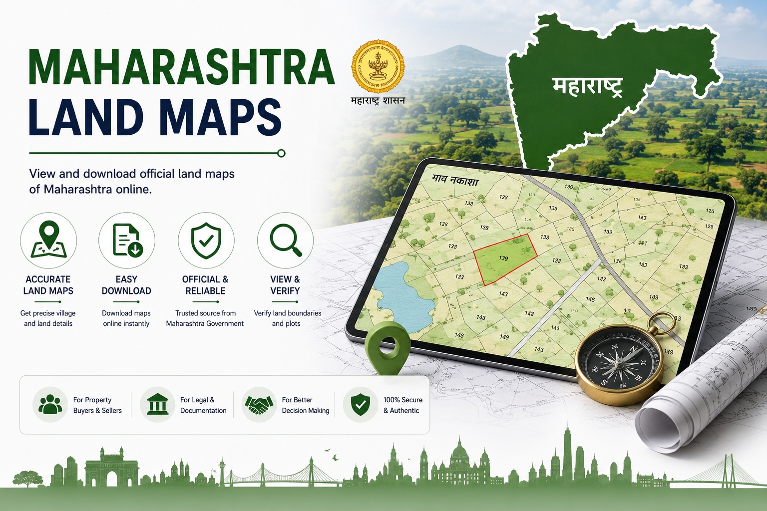
Maharashtra Land Maps (डिजिटल नकाशे) are digital cadastral maps that provide a graphical representation of land parcels based on the selected District, Taluka, Village, Map Type, and Survey Number.
These maps help property owners, buyers, surveyors, and legal professionals identify land boundaries, verify survey locations, and reference cadastral maps. They are commonly used for land verification, property transactions, boundary confirmation, survey planning, and legal documentation..
How to Download Maharashtra Land Maps Online?
You can obtain Maharashtra Land Maps online through mypatta
Steps
- Open mypatta.
- Download for Android
- Download for iPhone
- Download from website – Maharashtra
- Go to Maharashtra state and Select Maharashtra Land Maps
- Select your:
- District
- Taluka
- Village
- Map Type
- Enter your Survey Number.
- Click Submit.
- Complete your order.
Why are Maharashtra LandMaps Important?
Maharashtra LandMaps are valuable land records that help verify the physical location and boundaries of a property. They are widely used for several purposes:
- Boundary verification: Helps identify the official boundaries of a land parcel.
- Property transactions: Commonly referred to while buying, selling, or transferring land.
- Survey reference: Provides an official map linked to a Survey Number.
- Land verification: Helps confirm the location and layout of agricultural or rural land.
- Legal documentation: Supports land-related legal verification and documentation.
- Planning and development: Useful during land development, site planning, and survey-related activities.
In short, Maharashtra LandMaps provide an official visual representation of land records that supports property verification, legal compliance, and land administration.
What Do Maharashtra LandMaps Contain?
A Maharashtra LandMap generally contains the following information:
- Map Type - Type of cadastral map selected for retrieval.
- Survey Number - Unique identification number assigned to a land parcel.
- Land Parcel Boundaries - Displays the exact boundaries of the selected land.
- Survey Layout - Shows the layout and dimensions of land parcels.
- Adjacent Survey Numbers - Lists survey numbers surrounding the selected property.
- Official Cadastral Map - Official map showing survey-based land records.
Frequently Asked Questions
- What are Maharashtra Land Maps?+
Maharashtra Land Maps are official digital land maps. They provide a graphical representation of land parcels based on Survey Numbers.
- What information do Maharashtra Digitized Maps provide?+
Maharashtra Digitized Maps provide information such as the District, Taluka, Village, Map Type, Survey Number, and official land parcel boundaries for the selected property.
- What are Maharashtra Digitized Maps used for?+
Maharashtra Digitized Maps are commonly used for land boundary verification, property transactions, survey reference, land verification, legal documentation, and planning and development. They help users accurately identify land parcels, verify property details, and support informed decisions for legal, administrative, and development purposes.
- How can I download Maharashtra Digitized Maps online?+
You can download your Maharashtra Digitized Maps by visiting mypatta, selecting Maharashtra Digitized Maps, choosing your District, Taluka, Village, Map Type, entering your Survey Number, and placing your request. Once the map is available, you can view, save, share, or download it as a PDF.
- What is a Map Type? Will I receive the map as a PDF?+
A Map Type represents the category of land map available for the selected Village and yes the requested map is always delivered as a PDF.
Shree Shreya
Real Estate Content Specialist
Shree Shreya is a content specialist with 4+ years of experience in real estate and digital content creation. She simplifies land records and property documentation through clear, practical insights.