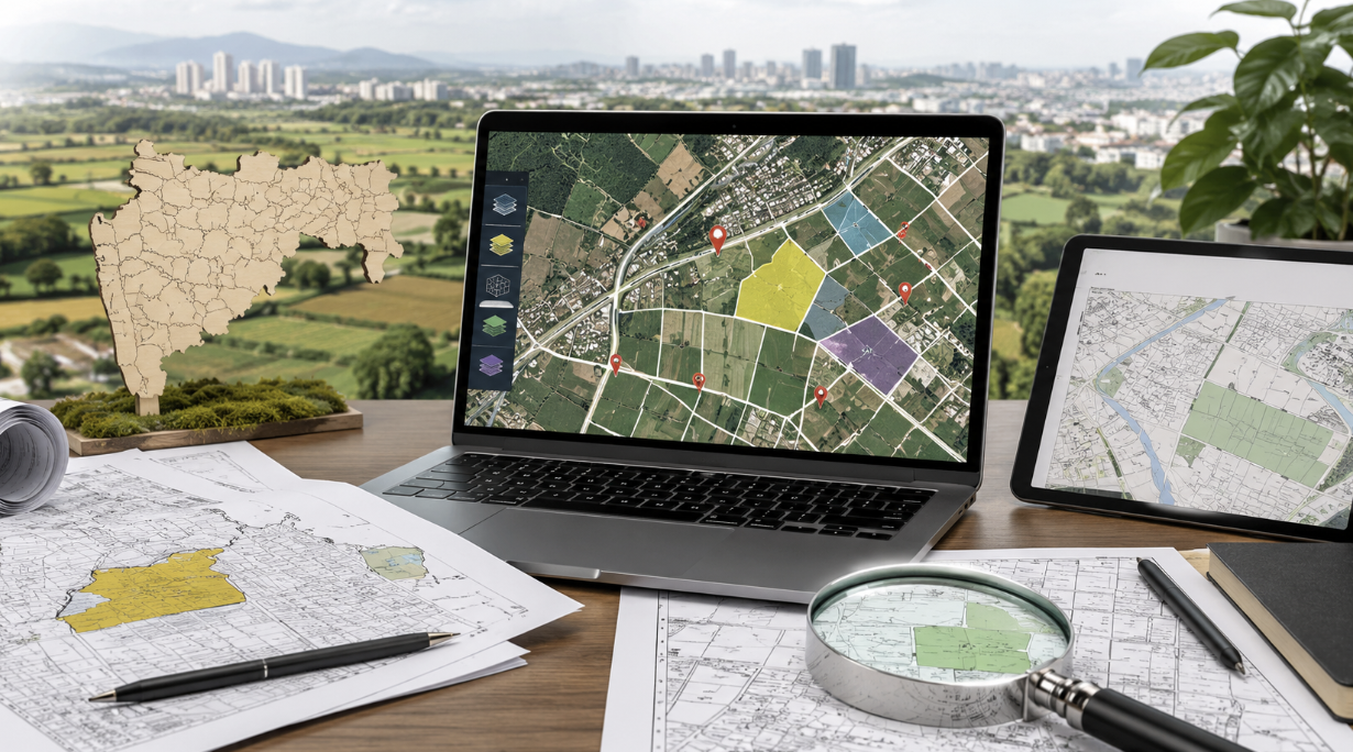
How to Download Bhunaksha in Maharashtra
You can get the Bhunaksha in Maharashtra online easily via mypatta without visiting the Sub-Registrar office.
- Open mypatta and log in or sign up if needed.
- Go to property documents, ensure “Maharashtra” is selected as the state, then tap the “Bhunaksha” icon.
- Enter required information.
- Tap “Search”
- Once Faisal Patti is available to download, tap “View Document”. You can now save or share or download this document in PDF on your device.
What Is Bhunaksha Maharashtra?
Bhunaksha Maharashtra is an online cadastral-map platform maintained as part of Maharashtra’s Mahabhumi land-record system. It allows citizens to view the mapped layout of land parcels and examine available plot-level information through the State’s official land-record infrastructure.
A cadastral map is a land map divided into individually identified parcels. Instead of showing only roads, towns or general geographical features, it focuses on the survey-based arrangement of properties within a village or urban survey area.
The Maharashtra Land Records Department states that Bhunaksha provides searchable metadata for land parcels and links the land survey map with the corresponding 7/12 record. The official Mahabhumi portal lists Mahabhunakasha as the State service for “Maps with Land Records.”
Bhunaksha can help a user understand:
- where a survey or Gat number appears within the village map;
- the broad shape of the recorded parcel;
- which parcels lie beside it;
- whether the land is shown as one parcel or several subdivisions; and
- how the map reference connects with revenue-record identifiers.
The map does not create ownership or replace the documents through which title was acquired. It is a visual survey record that should be read with the 7/12 extract, mutation history and relevant survey documents.
What Information Does a Bhunaksha Map Contain?
The information available may vary according to the district, village, land category and level of digitisation. The official platform nevertheless provides several common types of parcel and map information.
Location particulars
The map or plot report may identify:
- rural or urban category;
- district;
- taluka;
- village or urban survey area; and
- selected plot or parcel number.
These details are essential because the same numerical survey or plot number may exist in more than one village or taluka.
Parcel identification
The mapped land may be connected with:
- survey number;
- Gat number;
- Hissa or subdivision number;
- urban CTS or city-survey number;
- plot number; and
- other system-generated parcel references.
Maharashtra’s Land Records Department explains that rural parcels are generally identified through the district, taluka, village and survey or Gat number, together with the Hissa number where applicable. Urban properties may instead be identified through city-survey, plot or similar urban land-record references.
Map and plot information
The official Bhunaksha plot-report interface may provide options or information relating to:
- single-plot display;
- plots recorded under the same owner;
- map layers;
- parcel vertices;
- border lengths;
- map scale; and
- a printable or signed plot report, where available.
These features appear in the State’s public plot-report interface and assist in examining the selected parcel and its relationship with the wider cadastral layout.
The information displayed should be understood according to the map layer selected. A parcel line, road feature, water feature or administrative marking may come from a different map layer and should not be interpreted without checking the relevant legend or report.
How Are Survey Numbers, Gat Numbers and Land Parcels Shown?
Survey numbers and Gat numbers are used to identify land within a village’s revenue and survey framework. They normally appear on the map inside or beside the relevant parcel boundary.
Survey number
A survey number is a number assigned to a land parcel during the survey and settlement process. In older village records, a large survey number may later be divided into smaller parts.
Where a subdivision has occurred, the main survey number alone may not identify the exact portion. The Hissa or subdivision number should also be checked.
Gat number
A Gat number is commonly used in areas where land parcels have been reorganised or consolidated. It may replace or correspond with earlier survey numbers depending on the village’s survey and consolidation history.
A deed containing an old survey number and a current 7/12 extract containing a Gat number should not be assumed to refer to different land without checking the official correlation or consolidation record.
Hissa or subdivision
A Hissa identifies a divided part of a larger survey or Gat number. For example, one parent survey number may contain several separately recorded portions.
The Bhunaksha map may show these portions through separate parcel outlines or plot references. The precise manner of display depends on how the subdivision has been incorporated into the digital map.
Urban parcel references
Urban areas may use CTS numbers, city-survey numbers or plot numbers instead of rural survey and Gat numbers. Maharashtra also provides an official service for checking the relationship between survey numbers and CTS numbers in available areas.
The parcel should therefore be identified through the complete location and number combination, not through one number alone:
District + Taluka + Village or Urban Area + Survey/Gat/CTS Number + Hissa or Subdivision
How to Read Boundaries, Adjoining Parcels and Map Symbols
A Bhunaksha map should be read from the selected parcel outward. First identify the parcel number, then examine its outline, adjoining parcels, access features and map scale.
| Map element | What it generally indicates | What should be checked |
|---|
| Parcel outline | Recorded shape of the selected plot | Whether the outline corresponds with the expected land parcel |
| Parcel number | Survey, Gat, Hissa, CTS or plot reference | Whether it matches the 7/12, Property Card or deed |
| Adjoining numbers | Neighbouring mapped land parcels | Whether the adjoining survey numbers match the property description |
| Vertices | Turning points forming the parcel outline | Whether the parcel is regular, irregular or divided |
| Border length | Recorded length of individual parcel sides in the report | Whether the unit and map data are clearly stated |
| Scale | Relationship between map distance and ground distance | Whether the map is being viewed or printed at the stated scale |
| Roads and natural features | Access routes, streams, drains or other mapped features | Whether the feature is shown within, beside or only near the parcel |
| Layers | Different categories of spatial information | Which layer is active when interpreting a line or symbol |
Parcel boundaries
The parcel outline represents the land as shown in the available cadastral map. An irregular outline may reflect the historical shape of the holding, a natural boundary, road alignment or earlier subdivision.
A thicker or highlighted outline may simply indicate the selected plot rather than a legally different category of boundary.
Adjoining parcels
Neighbouring survey or Gat numbers help place the selected land within the village layout. They can be compared with the boundary schedule in the registered deed.
For example, if the deed states that the property is bounded by a particular survey number on the east, the same adjoining parcel should ordinarily appear on the relevant side of the map. Direction, map orientation and any later subdivision must be considered before drawing a conclusion.
Vertices and border lengths
The official plot-report interface may display parcel vertices and border lengths. These features help explain the geometry of the mapped plot and the length attributed to individual boundary segments.
They should not be treated as a substitute for an official ground measurement where the boundary is disputed. A screen display may also be affected by zoom, print size or map scale.
Roads, drains and other features
Roads, pathways, water channels and natural features may be shown as separate lines or layers. A line passing beside a parcel may indicate a road or drain, but the relevant map layer and legend should be checked before treating it as an access right or legal boundary.
The mere appearance of a pathway on a digital map does not, by itself, establish a private easement or legally enforceable right of access.
How to Access a Land Map Through Bhunaksha Maharashtra
Maharashtra’s official Mahabhumi platform provides a direct link to Mahabhunakasha, described as the service for maps connected with land records. The map service allows a parcel to be located through the relevant land category and geographical particulars.
The following information should be kept ready:
- whether the property is rural or urban;
- district;
- taluka;
- village or survey area;
- survey, Gat, CTS or plot number; and
- Hissa or subdivision number, where applicable.
Only a brief process is required: the correct location is selected, the parcel number is identified and the map or plot information is viewed in the available format.
The emphasis should remain on selecting the correct property. A valid map for the wrong village or subdivision is of no use merely because the parcel number resembles the number appearing in the deed.
The official platform may permit the user to view:
- a single selected plot;
- plots under the same recorded owner;
- available map layers;
- plot information; and
- a plot report or signed report, depending on availability.
Where the online parcel cannot be located, the issue may arise from an old survey number, changed Gat number, incomplete digitisation, unrecorded subdivision or incorrect village selection. The underlying survey and revenue records should then be examined.
How to Check Whether the Map Relates to the Correct Property?
A Bhunaksha map should be treated as correctly matched only when the location, parcel number and supporting land records all refer to the same property.
Begin by confirming:
- district, taluka and village;
- rural or urban category;
- survey, Gat, CTS or plot number;
- Hissa or subdivision;
- adjoining parcel numbers; and
- general parcel shape.
The map reference should then be compared with the relevant textual record. For rural agricultural land, this will usually include the 7/12 extract and mutation history. For urban land, the Property Card or city-survey record may be more relevant.
Maharashtra’s Land Records Department specifically describes Bhunaksha as linking survey maps with 7/12 records, while the Mahabhumi system separately provides digitally signed 7/12, 8A, Ferfar and Property Card documents.
The following mismatches require closer checking:
- the map shows a Gat number while the deed contains only an old survey number;
- the correct main survey number appears but the Hissa differs;
- the parcel shape differs substantially from the property described;
- adjoining survey numbers do not correspond with the deed boundaries;
- the map shows one parcel while the land is claimed as several divided plots;
- the 7/12 extent and mapped parcel appear inconsistent; or
- the selected plot falls in a different village or urban survey area.
A mismatch may be explained by consolidation, subdivision, resurvey, road acquisition or correction of the cadastral record. It should not be resolved by manually assuming that two parcel numbers refer to the same land.
The map should be supported by the official survey or correlation record where an old number has changed. If the physical parcel cannot be confidently connected with the digital map, a formal measurement through the competent Land Records authority may be necessary.
Why mypatta?
Trusted by 7 Lakh+ Customers
1 Crore+ Documents Delivered
mypatta Guarantee: Guaranteed delivery or a 100% refund
4.8-Star App Rating
Your money is safe with us: Guaranteed delivery or a 100% amount refund.
FAQs
- 1. Is Bhunaksha Maharashtra the same as a 7/12 extract?+
No. Bhunaksha is a visual cadastral map of land parcels, while the 7/12 extract is a textual revenue record containing landholder, area, cultivation and other particulars. They should be compared together.
- 2. What is the difference between a survey number and a Gat number?+
Both identify land parcels, but a Gat number may arise from consolidation or reorganisation of earlier survey holdings. The relevant village records should be checked to connect an old survey number with the present Gat number.
- 3. Can Bhunaksha show the neighbouring land parcels?+
Yes. The map may display adjoining parcel outlines and their survey, Gat or plot numbers. These can assist in comparing the map with the boundaries stated in the deed.
- 4. Why does the deed show one number while Bhunaksha shows another?+
The difference may result from consolidation, subdivision, resurvey, conversion to a CTS reference or use of an old survey number. An official correlation or survey record should be checked.