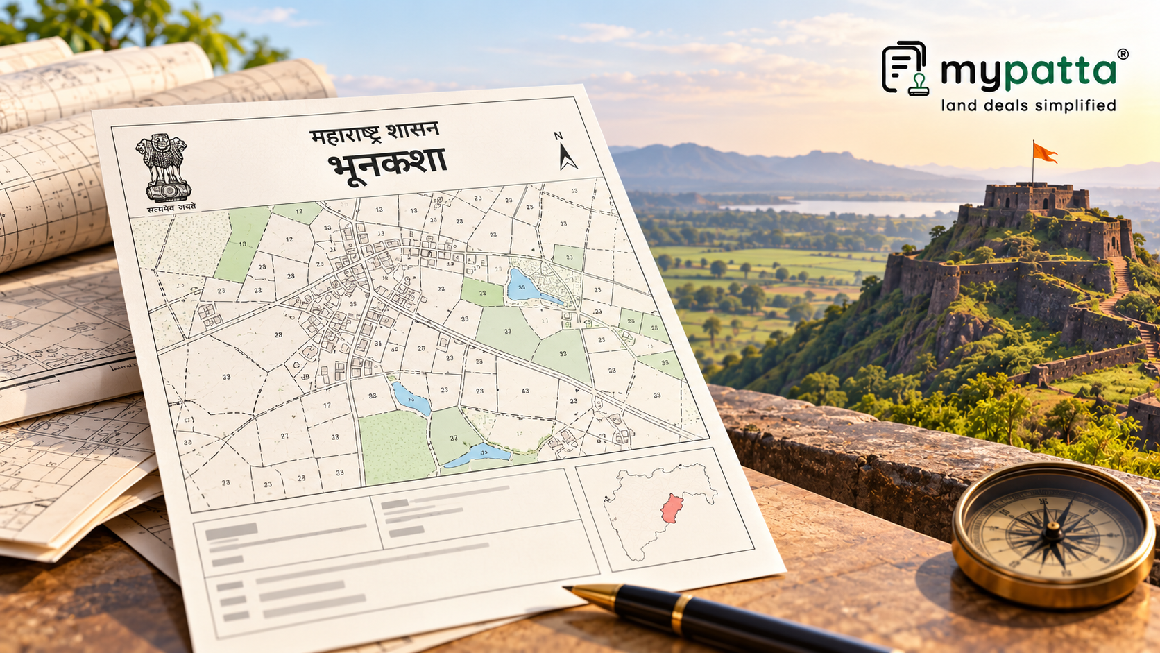
How to Download Bhunaksha in Maharashtra
You can get the Bhunaksha online easily via mypatta without visiting the concerned office.
- Open mypatta and log in or sign up if needed.
- Go to property documents, ensure “Maharashtra” is selected as the state, then tap the “Bhunaksha” icon.
- Enter required information.
- Tap “Search”.
- Once Bhunaksha is available to download, tap “View Document”. You can now save or share or download this document in PDF on your device.
What Is Maharashtra Bhunaksha?
Bhunaksha is a cadastral land map showing the graphical layout of individual land parcels.
Depending on the available map, it can help identify:
- land parcel or plot;
- survey or Gat number;
- subdivision or Hissa reference;
- parcel outline;
- plot shape;
- adjoining parcels;
- recorded boundary lines; and
- position of the land within the surrounding layout.
MyPatta describes Maharashtra Bhunaksha as a digital land map showing the boundaries, shape and layout of individual land parcels, with connections to records such as the 7/12 and 8A Extract.
The map is therefore particularly useful for property identification and boundary due diligence.
Start by Matching the Survey or Gat Number
The first check should be whether the parcel shown in Bhunaksha corresponds with the survey or Gat number mentioned in the seller's title documents.
Compare the number against:
- registered sale deed;
- previous link deeds;
- 7/12 Extract;
- 8A Extract;
- Ferfar entries; and
- subdivision records where applicable.
The same land should be capable of being identified consistently across these records.
If the title deed mentions a Hissa or subdivision number, do not rely only on the parent survey or Gat number. Verify whether the particular subdivided parcel can also be identified.
Check the Recorded Shape of the Plot
One of the main advantages of Bhunaksha is that it allows the buyer to see the recorded shape of the land parcel.
Check whether the parcel appears:
- rectangular or irregular;
- narrow at any point;
- divided into multiple portions;
- surrounded by other survey parcels; or
- connected to the wider village layout in the manner expected.
The recorded shape should be compared with the land physically identified by the seller.
A major difference between the mapped parcel and the land shown at the site should be investigated before registration.
However, the map should not be used to estimate exact dimensions merely by looking at its visual shape. Where precise measurements matter, relevant measurement or survey records should be checked.
Compare Bhunaksha With the 7/12 Extract
Bhunaksha and the 7/12 Extract answer different questions.
The Maharashtra 7/12 Extract provides parcel-related revenue details, while Bhunaksha provides the graphical view of the land.
| Record | Main Verification Purpose |
|---|
| Bhunaksha | Shape, parcel location, adjoining plots and mapped boundaries |
| 7/12 Extract | Survey/Gat number, holder, area, land type and revenue particulars |
| 8A Extract | Account-wise landholding connected with the khatedar |
| Ferfar | Changes made in the revenue record |
| Registered Deed | Legal transaction and property transferred |
The survey number and parcel identity appearing in Bhunaksha should correspond with the 7/12 and title documents.
MyPatta also recommends comparing Bhunaksha with records such as the 7/12 and 8A when checking land details.
Verify the Land Area Separately
Bhunaksha can show the parcel visually, but the land area should not be accepted solely from the appearance of the map.
Compare the extent mentioned in:
- registered deed;
- 7/12 Extract;
- mutation records;
- subdivision records; and
- relevant survey or measurement documents.
If the deed records a different area from the current parcel record, determine whether the difference arose because of subdivision, partition, survey correction or another documented change.
An unresolved area discrepancy should be addressed before purchase.
Check the Adjoining Parcels
Bhunaksha can help identify the parcels surrounding the land.
This is useful when comparing the map with the boundary description contained in older title deeds or survey documents.
Check whether the recorded parcel is surrounded by the land or features expected from the available records.
Adjoining parcel information can also help identify:
- possible boundary confusion;
- incorrect physical identification of the land;
- changes created by subdivision; and
- whether the seller is showing a neighbouring parcel instead of the recorded property.
The map supports this verification, but physical boundary confirmation may still require measurement on the ground.
Check Road and Access Position Carefully
Access is a critical issue when buying land.
A map may help determine whether a road or access feature is shown near the parcel, but visual proximity should not automatically be interpreted as a legally enforceable right of access.
The buyer should separately check:
- property boundaries;
- road position;
- title-deed recitals;
- rights of way or easements;
- village map where relevant; and
- actual physical access.
The Maharashtra Village Map can provide a wider view of the land's location within the village and surrounding roads or parcels.
Bhunaksha is more parcel-specific, while a village map can provide useful wider geographical context.
Check Whether the Parcel Has Been Subdivided
Subdivision can cause confusion where older deeds and current maps use different identifiers.
Check whether the current parcel carries:
- a Hissa number;
- subdivision number;
- changed Gat reference; or
- another parcel identifier different from the older title records.
The mutation history should explain changes resulting from partition or subdivision.
If the seller relies on a parent survey number but the property has subsequently been subdivided, verify the precise parcel being transferred rather than relying only on the older parent-land description.
Does Bhunaksha Prove the Seller Owns the Land?
No.
Bhunaksha primarily helps identify the mapped land parcel.
It does not independently establish:
- how the seller acquired ownership;
- whether the seller has the entire transferable share;
- whether earlier transfers were valid;
- whether the property is mortgaged;
- whether succession disputes exist; or
- whether later registered transactions affect title.
Ownership should be verified through the registered title documents, link deeds, mutation history and other relevant records.
A correct map cannot cure a defective ownership chain.
What if Bhunaksha Does Not Match the Sale Deed?
Do not ignore a material mismatch.
Check whether the difference concerns:
- survey or Gat number;
- subdivision;
- plot shape;
- extent;
- boundaries;
- adjoining parcels; or
- access.
Then trace the mutation, subdivision and survey history to determine whether the change is properly documented.
A mismatch may have a valid explanation, but that explanation should be established through records before the buyer relies on the property description.
When Is a Fresh Land Survey Necessary?
Bhunaksha is valuable for documentary due diligence, but a physical survey may still be required where:
- the boundaries cannot be identified on the ground;
- the map and physical occupation differ;
- neighbouring owners dispute the boundary;
- the recorded area and measured area differ;
- subdivision lines are unclear;
- access is disputed; or
- the buyer requires precise demarcation before construction or fencing.
Bhunaksha should therefore be treated as a map-verification tool, not a substitute for physical measurement where precise demarcation is required.
What Should Buyers Verify Before Purchase?
Before relying on Bhunaksha, check that the following records identify the same land:
- registered title deed;
- link documents;
- current 7/12 Extract;
- 8A Extract where relevant;
- Ferfar mutation history;
- Bhunaksha;
- Village Map where wider location or access needs verification; and
- survey or measurement records where precise boundaries matter.
The strongest land verification is achieved when the title, revenue records, cadastral map and physical parcel all correspond.
Why mypatta?
- Trusted by 7 Lakh+ Customers
- 1 Crore+ Documents Delivered
- mypatta Guarantee – guaranteed delivery or 100% refund
- 4.8 Star App Rating
- 1. What does Maharashtra Bhunaksha show?+
It shows the graphical layout of land parcels, including parcel shape, survey or Gat references, adjoining plots and recorded boundaries.
- 2. Can Bhunaksha confirm the exact boundary on the ground?+
It can support boundary verification, but precise physical demarcation may require a land survey or measurement.
- 3. Can Maharashtra Bhunaksha prove ownership?+
No. Ownership must be verified through the registered title documents and supporting land records.
Shivangi
Real Estate Content Writer
Shivangi is a real estate content writer with 3+ years of experience helping readers understand property documentation, land records, and legal requirements through clear and actionable content.