How to Download Rajasthan Bhu Naksha Online?
You can request your Rajasthan Bhu Naksha online through mypatta.
Steps
- Open mypatta.
- Download for Android.
- Download for iPhone.
- Download from website – Rajasthan Bhu Naksha
- Go to Property Documents, select Rajasthan, and choose Rajasthan Bhu Naksha.
- Select your:
- District
- Tehsil
- Village
- Enter your Khata Number.
- Click Submit.
- Complete your order.
- Once the map is available, you can view, save, share, or download it as a PDF.
Why is Rajasthan Bhu Naksha Important?
Rajasthan Bhu Naksha is useful when you need to understand the location and boundaries of a particular land parcel.
- Land boundary verification: Helps you visually understand the boundaries of a selected land parcel.
- Property identification: Helps identify a specific Khasra or parcel within a village.
- Property transactions: Can be used as a supporting document when buying or selling land.
- Land due diligence: Helps you review the location and surrounding parcels before making a property-related decision.
- Legal documentation: Can support land-related legal and documentation requirements.
- Record keeping: Provides a digital map that can be saved and referred to whenever required.
In short, Rajasthan Bhu Naksha provides a visual reference for understanding the location, boundaries, and surrounding parcels of a specific piece of land.
What Does Rajasthan Bhu Naksha Contain?
A Rajasthan Bhu Naksha generally provides visual and location-related information such as:
- District — Administrative area within a state.
- Tehsil — Subdivision of a district for administration.
- Village — Local rural settlement where land is located.
- Patwar Halka — Area managed by a Patwari.
- Khasra Number — Unique number identifying a land parcel.
- Land Parcel Boundaries — Shows the exact limits of the land.
- Surrounding Khasra Numbers — Identifies neighboring land parcel numbers.
- Roads and Access Paths — Shows roads and routes accessing the land.
- Adjacent Land Parcels — Shows land parcels directly next to yours.
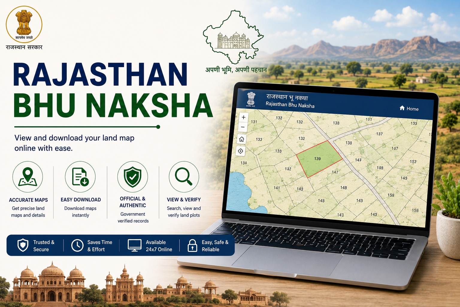
The sample map also shows the selected land parcel highlighted separately from the surrounding parcels, making it easier to identify the specific Khasra on the map.
Understanding Khasra Number on Rajasthan Bhu Naksha
A Khasra Number is an identification number assigned to a particular land parcel. On the Bhu Naksha, the Khasra Number helps you identify the exact parcel represented on the map. For example, the sample Bhu Naksha shows Khasra Number 104 as the highlighted parcel. Other surrounding parcels are marked with their respective Khasra Numbers. This makes the map useful for visually comparing a particular land parcel with the surrounding properties and boundaries.
Frequently Asked Questions
- 1. What is Rajasthan Bhu Naksha?+
Rajasthan Bhu Naksha (राजस्थान भू-नक्शा) is a digital land map that provides a visual representation of land parcels, their boundaries, Khasra numbers, and surrounding properties.
- 2.How can I download Rajasthan Bhu Naksha online?+
You can download your Rajasthan Bhu Naksha by visiting mypatta, selecting Rajasthan Bhu Naksha, choosing your District, Tehsil, and Village, entering your Khata Number, and placing your request. Once available, you can view, save, share, or download the map as a PDF.
- 3. Can Rajasthan Bhu Naksha show land boundaries?+
Yes. The map provides a visual representation of land parcel boundaries and helps you understand how the selected parcel is positioned relative to surrounding land parcels.
- 4. Can I see surrounding plots on Rajasthan Bhu Naksha?+
Yes. A Bhu Naksha can display surrounding Khasra numbers and adjoining land parcels, allowing you to understand the location of the selected property in relation to nearby plots.
- 5.Is Rajasthan Bhu Naksha useful for property verification?+
Yes. It can be used as a supporting document to verify the location, boundaries, and identification of a particular land parcel.
Shree Shreya
Real Estate Content Specialist
Shree Shreya is a content specialist with 4+ years of experience in real estate and digital content creation. She simplifies land records and property documentation through clear, practical insights.