
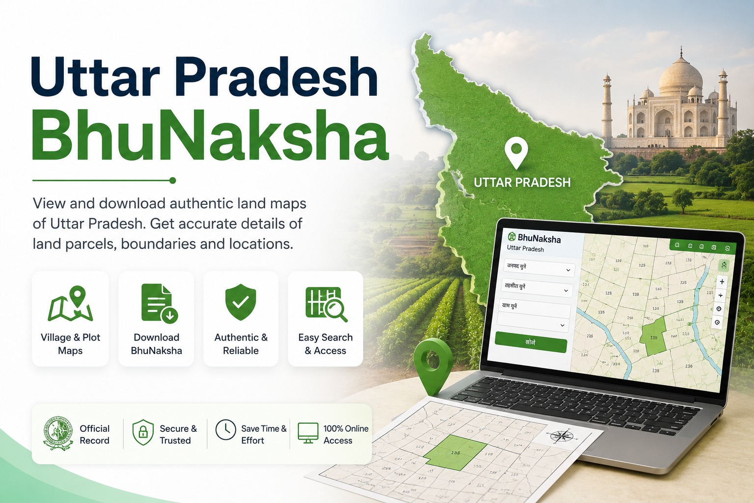
You can easily download the Uttar Pradesh Bhunaksha (उत्तर प्रदेश भू-नक्शा) online through mypatta . Simply choose whether you want to search using your Khasra/Gata Number or Plot Number, select your District, Tehsil, and Village, and enter the relevant number. Once your request is submitted, you can receive the land map as a digital document.
Key Takeaways
- Uttar Pradesh Bhunaksha provides important land and plot-related information for properties in Uttar Pradesh.
- You can search using either a Khasra/Gata Number or a Plot Number.
- Easily download your Uttar Pradesh Bhunaksha online through mypatta.
- The document can help verify land boundaries and plot details.
- It is commonly useful for property transactions, land verification, legal documentation, and due diligence.
Uttar Pradesh Bhunaksha (उत्तर प्रदेश भू-नक्शा) is a digital land record and map service that helps you identify and view information associated with a specific land parcel in Uttar Pradesh. A land parcel can be identified using details such as its District, Tehsil, Village, Khasra/Gata Number, or Plot Number.
The land map provides a visual reference for identifying the location and boundaries of a particular plot. It can be useful when you need to verify land details before a property transaction or while maintaining records related to your property









