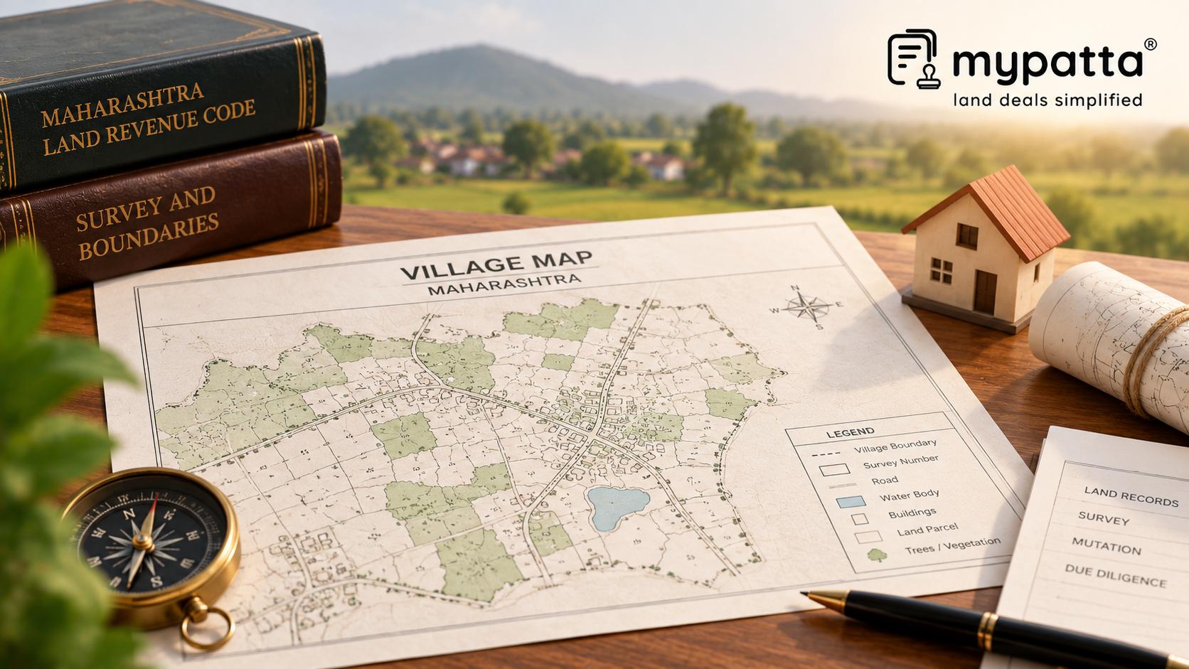
How to Download Maharashtra Village Map in Maharashtra
You can get the Maharashtra Village Map online easily via mypatta without visiting the Sub-Registrar office.
- Open mypatta and log in or sign up if needed.
- Go to property documents, ensure “Maharashtra” is selected as the state, then tap the “Maharashtra Village Map” icon.
- Enter required information.
- Tap “Search”
- Once Maharashtra Village Map is available to download, tap “View Document”. You can now save or share or download this document in PDF on your device.
Does the Gat or Survey Number Appear Where the Seller Says It Does?
One of the most practical uses of an MH Village Map is confirming the general location of the Gat or Survey Number.
A seller may provide the correct number in the documents but physically show a buyer land at a slightly different location. This risk is greater where agricultural parcels look similar or several family-owned parcels lie close together.
Maharashtra defines a Village Map as a visual map of the lands within a village showing their Gat or Survey Numbers together with features such as roads, drains, rivers, public areas and structures.
The buyer should therefore locate the relevant number and see whether its position within the village broadly corresponds with the land being represented.
Use Neighbouring Gat Numbers as Location References
A parcel does not exist in isolation. The numbers surrounding it can provide useful reference points.
Suppose the seller claims that Gat No. 214 lies between Gat Nos. 213 and 215. If the Village Map supports that arrangement, it strengthens the identification of the location. If Gat No. 214 appears elsewhere or its surrounding numbers are materially different, the parcel being shown deserves closer scrutiny.
This is especially useful where older deeds describe land partly by adjoining properties or where visible ground markers are unclear.
The purpose is not to establish the exact boundary from the neighbouring numbers. It is to determine whether the claimed parcel fits logically into the surrounding cadastral pattern.
Check Roads, Rivers, Drains and Public Spaces Around the Land
Maharashtra Village Maps can also provide context that ordinary ownership documents may not show clearly.
Mapped features can include:
- roads;
- drains or nalas;
- rivers;
- public spaces;
- structures; and
- surrounding land parcels.
These features can help a buyer understand the setting of the property.
For example, if the seller represents land as being directly connected to a road but the mapped parcel appears separated from it by another Gat Number, the question of access should be examined further.
Similarly, a nearby nala, river or public area may be relevant to understanding the parcel's physical surroundings.
The Village Map identifies these spatial relationships. It does not by itself determine ownership over a road, establish an easement or decide whether any particular use of adjoining land is legally permitted.
When Should the Village Map Lead You to a Survey Number Map?
A Maharashtra Village Map and a Survey Number Map should not be treated as interchangeable records.
The Village Map gives the broader village layout. Maharashtra describes a Survey Number Map as a map prepared for a specific Gat or Survey Number showing its boundaries, area and neighbouring Gat numbers.
This distinction matters where the buyer needs to move from:
“Where is Gat No. 150 located?”
to:
“What are the boundaries and extent of Gat No. 150?”
The first question can be assisted by the Village Map. The second requires more parcel-specific survey information.
If the seller is selling only a portion of a larger Gat Number, village-level identification becomes even less sufficient and the subdivision and measurement records become more important.
What Should Be Compared With MH Village Map?
| Record | What It Adds to Verification |
|---|
| MH Village Map | Shows the parcel within the wider village layout |
| 7/12 Extract | Connects the Gat or Survey Number with current rural land particulars |
| Ferfar / Mutation Record | Helps explain changes following transfers or subdivisions |
| Survey Number Map | Shows the specific parcel's boundary, area and adjoining Gat numbers |
| Registered Deed | Identifies the land legally covered by the transaction |
| Measurement Records | Help verify the parcel where precise dimensions are required |
Maharashtra maintains maps alongside land records such as digitally signed 7/12, Ferfar and other cadastral records, reflecting the need to use textual and spatial records together.
Which Village Map Differences Should a Buyer Investigate?
Closer verification is advisable where:
- the stated Gat or Survey Number appears in a different location;
- neighbouring Gat numbers do not correspond with the seller's description;
- the map shows an intervening parcel between the land and claimed road access;
- a river, nala or public feature appears differently from what is represented on the ground;
- the seller relies on only part of a larger Gat Number without clear subdivision details; or
- the Village Map and current land records cannot be connected to the same parcel.
These differences do not automatically prove that the transaction is defective. They indicate that the identity and location of the property should be resolved before purchase.
Why I Trust mypatta
- Trusted by 7 Lakh+ Customers
- 1 Crore+ Documents Delivered
- mypatta Guarantee – Your money is safe with us. Guaranteed delivery or a 100% amount refund.
- 4.8 Star App Rating
Frequently Asked Questions
- 1. What does a Maharashtra Village Map show?+
It shows the village layout, including Gat or Survey Numbers, roads, drains, rivers, public spaces and other mapped features.
- 2. Can MH Village Map identify where a Gat Number is located?+
Yes. It can help locate the Gat or Survey Number within the broader village layout.
- 3. Is a Village Map enough to confirm exact land boundaries?+
No. A Survey Number Map or other relevant measurement record is more appropriate for parcel-specific boundaries and area.
- 4. Why should adjoining Gat Numbers be checked?+
They provide spatial reference points that help confirm whether the land being shown corresponds with the correct parcel.
Shivangi
Real Estate Content Writer
Shivangi is a real estate content writer with 3+ years of experience helping readers understand property documentation, land records, and legal requirements through clear and actionable content.