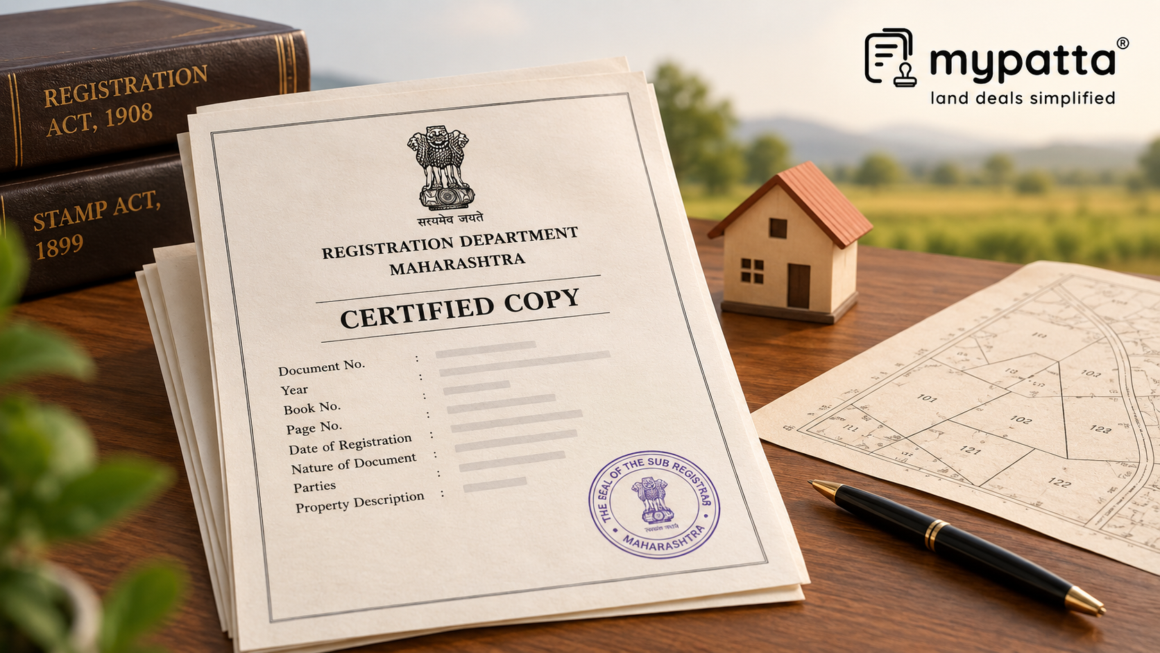
How to Download Maharashtra Certified Copy (MH CC) for Lawyers in Maharashtra
You can get the Maharashtra Certified Copy (MH CC) for Lawyers online easily via mypatta without visiting the Sub-Registrar office.
- Open mypatta and log in or sign up if needed.
- Go to property documents, ensure “Maharashtra” is selected as the state, then tap the “Maharashtra Certified Copy (MH CC) for Lawyers” icon.
- Enter required information.
- Tap “Search”
- Once Maharashtra Certified Copy (MH CC) for Lawyers is available to download, tap “View Document”. You can now save or share or download this document in PDF on your device.
Why Should Lawyers Start With the Property Schedule?
For survey-related legal verification, the property schedule is often more important than the commercial terms of the deed.
A Maharashtra Certified Copy can contain the property location, Survey or CTS Number, area, boundaries and other identifying particulars recorded during registration.
A lawyer should first isolate these identifiers and ask whether they describe one identifiable parcel.
For example, a deed may refer to Gat No. 42, Hissa No. 3, an area of 80 R and four adjoining properties. Those particulars provide the documentary footprint that can later be tested against land and survey records.
How Can Earlier MH CCs Help Reconstruct a Parcel?
Boundary problems often become clearer only after comparing multiple generations of deeds.
An older Certified Copy may describe an entire Survey Number. A later deed may transfer only part of that survey. Another transaction may then refer to a Hissa or changed parcel identifier.
By comparing the schedules chronologically, a lawyer can identify when:
- the total area changed;
- a Hissa first appeared;
- only part of the original property was conveyed;
- adjoining property descriptions changed; or
- a new survey or property reference began to be used.
This can help locate the point at which the present parcel separated from the larger historical holding.
How Should Four-Side Boundary Recitals Be Used?
Older deeds frequently describe land through the property situated on its north, south, east and west.
These recitals can be valuable historical evidence, but they require careful interpretation.
An adjoining owner named in a 1995 deed may no longer own the neighbouring property today. The change in that person's name does not necessarily mean the boundary changed.
A more significant inconsistency arises where the deed places a road to the east but the corresponding surveyed parcel has the road on an entirely different side, or where the surrounding Survey Numbers cannot be reconciled.
Lawyers should therefore use boundary recitals to test parcel identity, rather than assume that every historical description remains literally unchanged.
Why Do Part-Transfers Require Separate Survey Verification?
A deed can legally describe a transaction involving only a portion of a larger Survey or Gat Number.
For example, an MH CC may show that 50 R was transferred out of a parent parcel measuring 2 hectares. The deed confirms the extent intended to be transferred, but that figure alone does not establish where those 50 R fall physically within the larger parcel.
The question becomes more difficult if several portions of the same parent parcel were sold at different times.
Maharashtra's land-record framework recognises survey parcels and their subdivisions separately, making subdivision-level identification important where only part of a larger holding is involved.
The deed therefore identifies the legal transaction, while the survey history must identify the corresponding physical portion.
When Should a Lawyer Move From MH CC to Survey Records?
The Certified Copy should lead to the appropriate survey record once the documentary parcel has been identified.
| Record | Role in Boundary Analysis |
|---|
| MH CC for Lawyers | Provides the complete registered property schedule |
| Survey Number Map | Shows the specific Gat/Survey boundary, area and adjoining parcels |
| Tippan | Provides historic field-survey information used for boundary determination |
| Village Map | Places the parcel within the wider cadastral layout |
| 7/12 Extract | Connects the present rural record with the Survey/Gat Number |
| Ferfar Record | Helps explain subdivision or other recorded changes |
| Measurement Record | Assists with present parcel-level demarcation |
Maharashtra describes Survey Number Maps as showing the boundary, area and adjoining Gat numbers of a specific parcel. Tippan records originate from original field measurements and are used while determining survey-number boundaries.
What Should a Lawyer Flag as a Boundary Discrepancy?
Not every difference is a defect. The important task is to identify differences that cannot presently be explained.
Typical flags include:
- MH CC and current records showing different Survey/Gat Numbers;
- the deed area exceeding the corresponding recorded subdivision;
- a part-transfer without an identifiable Hissa or surveyed portion;
- four-side boundaries pointing towards a different parcel;
- an older Survey Number that cannot be mapped to its present identifier; or
- the claimed land extending into an adjoining mapped parcel.
In such cases, the legal note should distinguish the documentary description from the survey position and identify the additional record required to reconcile them.
Why I Trust mypatta
- Trusted by 7 Lakh+ Customers
- 1 Crore+ Documents Delivered
- mypatta Guarantee – Your money is safe with us. Guaranteed delivery or a 100% amount refund.
- 4.8 Star App Rating
Frequently Asked Questions
- 1. Can MH CC for Lawyers establish exact boundaries?+
No. It provides the registered property description, while exact boundary determination requires relevant survey and measurement records.
- 2. Why should lawyers compare older Certified Copies?+
They can show when the parcel's area, Survey/Gat Number, Hissa or boundary description changed across successive transactions.
- 3. Are four-side boundaries in an old deed still useful?+
Yes. They can help identify the historical parcel, although adjoining ownership and physical features may change over time.
- 4. What if MH CC transfers only part of a larger Gat Number?+
The corresponding subdivision or surveyed portion should be identified before treating the transferred area as a distinct physical parcel.
Shivangi
Real Estate Content Writer
Shivangi is a real estate content writer with 3+ years of experience helping readers understand property documentation, land records, and legal requirements through clear and actionable content.