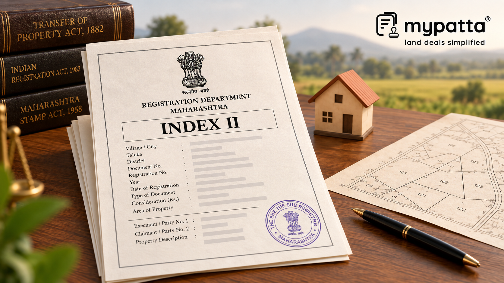
How to Download Maharashtra Index 2 for Lawyers in Maharashtra
You can get the Maharashtra Index 2 for Lawyers online easily via mypatta without visiting the Sub-Registrar office.
- Open mypatta and log in or sign up if needed.
- Go to property documents, ensure “Maharashtra” is selected as the state, then tap the “Maharashtra Index 2 for Lawyers” icon.
- Enter required information.
- Tap “Search”
- Once Maharashtra Index 2 for Lawyers is available to download, tap “View Document”. You can now save or share or download this document in PDF on your device.
What Survey Clues Can a Multi-Year Index II History Reveal?
A single Index II provides information relating to one registered transaction. A multi-year collection becomes more useful for survey verification because it allows the property description to be compared across time.
Relevant entries may include:
- Gat or Survey Number;
- Hissa or subdivision details where recorded;
- property area;
- village or property location;
- nature of the registered transaction;
- parties to the document; and
- date and document number.
Maharashtra expressly allows searches for registered documents and their Index II based on a specific property, which reflects the role of Index II in tracing registration history connected with land.
For survey verification, the important question is whether the parcel identifiers remain logically connected as the property passes through different transactions.
How Can Changing Property Descriptions Help Trace a Parcel?
Older and newer transactions do not always describe land identically.
For example, an older Index II may refer to an entire Survey or Gat Number, while a later transaction concerns only a subdivision or smaller extent. This can happen after partition, part-sale, subdivision or other changes affecting the original parcel.
Maharashtra law separately recognises the entry and division of survey numbers and subdivisions in land records.
A multi-year Index II history can therefore help establish when the description began to change.
If transactions up to 2012 refer to Gat No. 75 as one parcel but later transactions refer to smaller portions, the change provides a useful point from which the related subdivision and mutation records can be examined.
Why Are Part-Transfers Important for Boundary Verification?
A common survey issue arises when a registered transaction relates to only part of a larger Gat or Survey Number.
Suppose an earlier Index II records a transaction involving 4 hectares in Gat No. 100. A later Index II records a transfer of only 1 hectare from the same Gat Number.
The later transaction should not automatically be interpreted as identifying a separate physical parcel merely because a smaller area is mentioned.
The buyer or lawyer should determine whether that one-hectare portion subsequently received a separate subdivision or other parcel identity and whether its location can be traced in the survey records.
This distinction matters because Maharashtra law separately recognises survey numbers and their subdivisions, including disputes relating to the area or boundary of a subdivision.
What Does a Change in Area Across Index II Entries Mean?
An area difference is a verification signal, not a conclusion.
For example, successive Index II entries may show:
| Index II Pattern | Possible Survey Question |
|---|
| Entire Gat followed by smaller area | Was part of the parent parcel transferred or subdivided? |
| Area increases in later transaction | Does the later deed include additional land? |
| Same Gat but materially different areas | Are the transactions dealing with different portions? |
| Different Survey/Gat reference appears | Was the parcel renumbered or incorrectly matched? |
| Hissa appears only in later entries | When and how was the subdivision created? |
The Index II history helps identify where the inconsistency begins. It does not determine which measurement is correct.
How Do You Know Whether the Problem Is in the Transaction Record or the Survey Record?
This distinction is important.
If several Index II entries consistently describe the property in one way but the present survey record shows something materially different, the survey or subdivision history needs examination.
If, on the other hand, one Index II suddenly uses a different Gat Number or area while the surrounding registration and land records remain consistent, the underlying registered deed becomes particularly important.
The Certified Copy can clarify the complete property schedule and reveal whether the Index II summary is being interpreted correctly.
Boundary disputes under Maharashtra law can concern the boundary or area of a survey number or subdivision, and exact demarcation is treated separately from registration history.
Which Records Should Be Checked After MH Index 2 Lawyers?
MH Index 2 Lawyers should primarily be used to identify which survey change needs explanation.
A Maharashtra Certified Copy can provide the complete property schedule behind an important Index II entry. Ferfar or mutation records can help explain when the recorded parcel changed following a transaction. The 7/12 extract can establish the present rural land-record identity.
For actual spatial verification, the Survey Number Map is more directly relevant because it identifies the boundary, area and neighbouring Gat numbers of a specific parcel. Maharashtra's older Tippan records are also used in determining survey-number boundaries and originate from field measurements made during the original survey.
The Index II history therefore tells you where to investigate; the survey records tell you how the parcel exists spatially.
Why I Trust mypatta
- Trusted by 7 Lakh+ Customers
- 1 Crore+ Documents Delivered
- mypatta Guarantee – Your money is safe with us. Guaranteed delivery or a 100% amount refund.
- 4.8 Star App Rating
Frequently Asked Questions
- Can MH Index 2 Lawyers show exact land boundaries?+
No. It provides registered transaction and property-description details but is not a field-measurement record.
- 2. Why are multiple years of Index II useful for survey verification?+
They help show when the Gat, Survey, Hissa, area or other property description changed across transactions.
- 3. What if an older Index II shows the full Gat Number but a later one shows a smaller area?+
The later transfer should be checked against subdivision, Ferfar and survey records to determine which physical portion was affected.
- 4. Which record is more useful for exact parcel boundaries?+
A Survey Number Map and relevant measurement records such as Tippan are more directly related to parcel boundaries.
Shivangi
Real Estate Content Writer
Shivangi is a real estate content writer with 3+ years of experience helping readers understand property documentation, land records, and legal requirements through clear and actionable content.