Padvi


I liked this app very much and I use this app from time to time for my needs.

Download Hydra FTL map online to identify full tank level boundaries and water body encroachments
Enter details

Need help with your document details?

Your money is safe with us - guaranteed delivery or a 100% amount refund.
Why mypatta?


 App rating
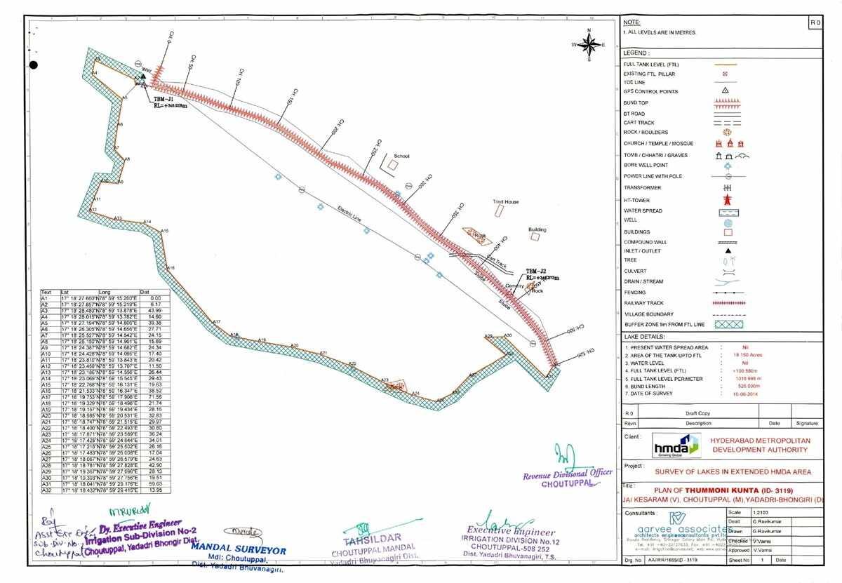
The HYDRA FTL Map (హైడ్రా FTL మ్యాప్) is an official mapping system used in Hyderabad to identify lake boundaries and Full Tank Level (FTL పూర్తి స్థాయి) zones. It visually represents water spread areas, buffer zones, and restricted regions around lakes to prevent encroachments and manage urban development. These maps are essential for understanding whether a property falls within regulated zones. With mypatta, users can access and interpret FTL map data to verify land safety and compliance before making property decisions.

It is a map that shows lake boundaries, FTL zones, and buffer areas in Hyderabad.

500+ Hydra FTL Map successfully delivered across Telangana

Certified map with physical signature by Government Officials
I liked this app very much and I use this app from time to time for my needs.
I had a good experience with this app and very supportive staff and delivering the documents within time.
Your service and responce are very fast and accurate. Your service is very good.
Very useful. This app and the team has helped me throughout my journey of claiming my land.
Related Documents / Services
Related Blogs






