Asiya


Thank you to mypatta team, my problem is solved and guided me I am happy to say this.

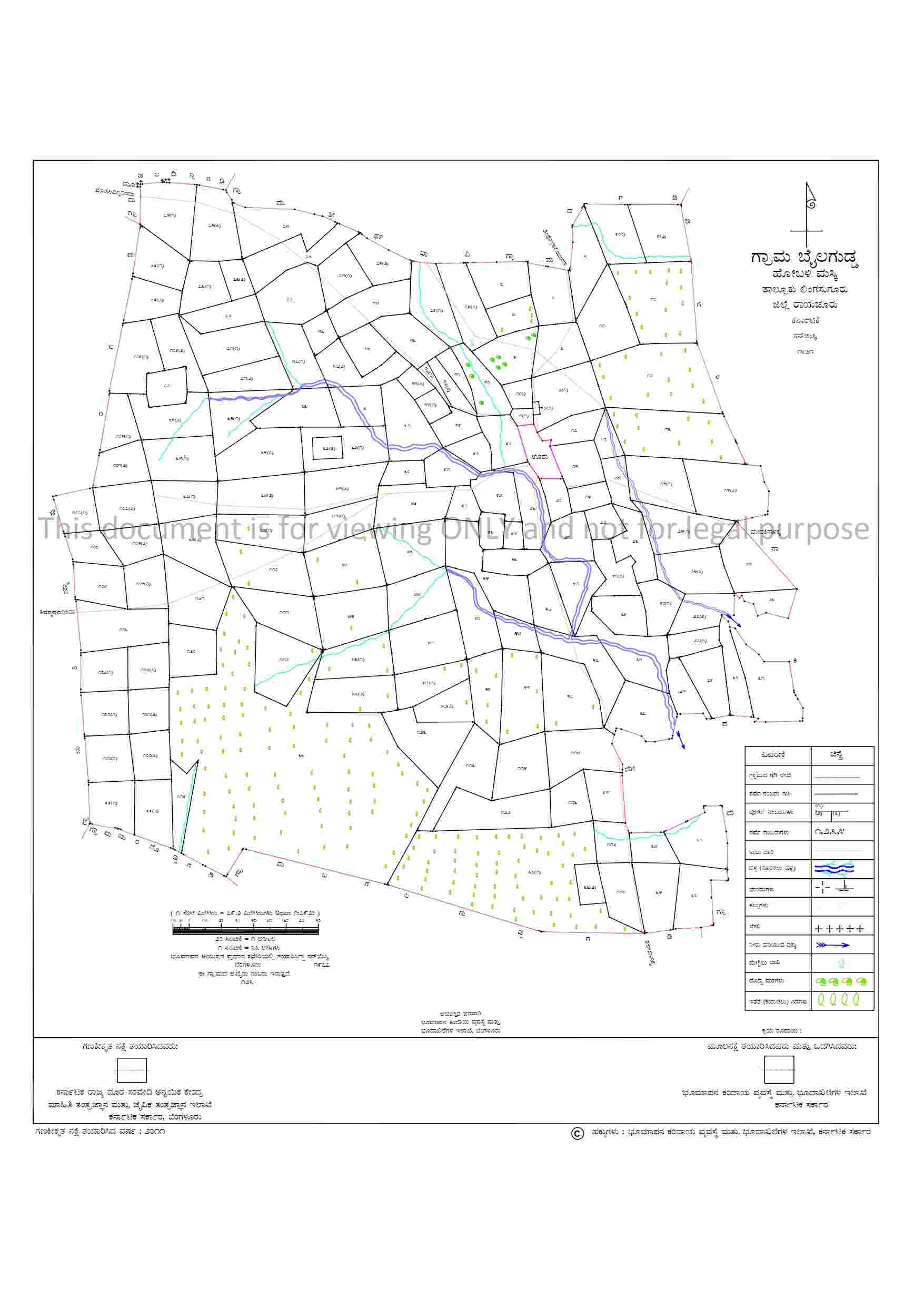
Download village map online to understand land boundaries, survey numbers, and surrounding features
Enter details


Your money is safe with us - guaranteed delivery or a 100% amount refund.
Why mypatta?


 App rating
A Village Map (ಗ್ರಾಮದ ನಕ್ಷೆ) or Revenue Map (ಆದಾಯ ನಕ್ಷೆ) in Karnataka is an official land record that visually represents the layout of a village, including land parcels, boundaries, and survey details. It typically shows survey numbers, village limits, roads, water bodies, and nearby landmarks, helping users understand the geographical arrangement of land. These maps are maintained by the Revenue Department. Village Maps play an important role in land administration, ownership verification, and dispute resolution by providing accurate and updated land information.

A Village Map or Revenue Map provides geographical and boundary details of land parcels, but it is not a substitute for ownership documents. It can be used as supporting reference during property registration.

1,00,000+ Village Map successfully delivered across Karnataka

Information Copy — for reference purposes only
Thank you to mypatta team, my problem is solved and guided me I am happy to say this.
Very nice and useful in our sitting place. Also the amount of fee is very low and cheap for the users.
I am truly pleased to gather these documents using the mypatta app, in a short period.
Great experience. Simple to use and quick response. Good job. Keep it up and keep adding more features.
Related Documents / Services
Related Blogs






