How to Download AP Adangal & 1B in Andhra Pradesh
You can get the AP Adangal & 1B online easily via mypatta without visiting the Sub-Registrar office.
- Open mypatta and log in or sign up if needed.
- Go to property documents, ensure “Andhra Pradesh” is selected as the state, then tap the “AP Adangal & 1B” icon.
- Enter required information.
- Tap “Search”.
- Once AP Adangal & 1B is available to download, tap “View Document”. You can now save or share or download this document in PDF on your device.
What Is the Meebhoomi Portal in Andhra Pradesh?
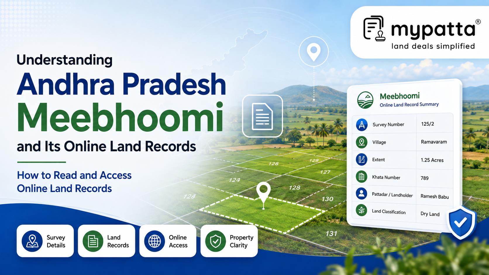
Meebhoomi is the official public land-record portal maintained by the Revenue Department of the Government of Andhra Pradesh. It allows citizens to view selected agricultural land information without first visiting a Revenue Office.
The portal works alongside Webland, the State’s system for managing land-record data. While Webland is used for official land administration, Meebhoomi provides public-facing access to information available from that database. The official portal identifies itself as Andhra Pradesh’s public land-record portal and currently provides access to Adangal, ROR-1B, survey numbers, village maps and owner-related details.
Meebhoomi is useful for checking:
- whether a survey number appears in the revenue database;
- whose name is recorded against the land;
- the extent and classification shown for the parcel;
- whether the land appears under a particular revenue account;
- cultivation or enjoyment-related entries; and
- the connection between the textual record and available map information.
The portal should be understood as a method of accessing land records, not as a separate document that creates ownership. The legal record continues to be maintained by the competent Revenue authorities under the Andhra Pradesh Rights in Land and Pattadar Pass Books Act, 1971. That Act provides for the preparation, maintenance and amendment of the Record of Rights and recognises a statutory presumption regarding entries made in it.
Meebhoomi therefore helps a landholder, buyer or legal heir understand what is presently reflected in the online revenue system. It does not replace the documents explaining how the rights were originally acquired.
Which Land Records Can Be Accessed Through Meebhoomi?
The records available through Meebhoomi broadly cover land rights, agricultural use, parcel identification and supporting survey information.
The official portal presently identifies the following principal categories:
- Adangal;
- ROR-1B;
- survey-number and landholder details;
- electronic Pattadar Passbook-related information;
- village maps and available spatial records; and
- dispute-related or other parcel information provided through the system.
Adangal
Adangal is a village land account containing survey-wise agricultural and land-use information. Depending on the format and period, it may show the survey number, subdivision, extent, land classification, name connected with enjoyment or cultivation, crop particulars and other revenue remarks.
It is especially useful for understanding how a parcel is described and used in the revenue records.
ROR-1B
ROR-1B is an extract from the Record of Rights. It generally focuses on the persons and rights recorded against the land account, including pattadar or landholder particulars, khata details and the survey parcels connected with that account.
It helps examine whether a person is presently reflected in the rights record and whether the relevant survey number and extent are attached to that person’s account.
Pattadar Passbook information
The portal also supports access to electronic Pattadar Passbook-related information. The official Meebhoomi passbook page reflects landholder and account particulars, including district, division, mandal, village, khata number, pattadar name and connected land details.
Maps and survey-related information
Meebhoomi provides access to village-map and related spatial services. Its official map facility allows village-level KML files to be selected using district, mandal and village particulars. The State’s Survey, Settlements and Land Records Department separately maintains cadastral mapping, parcel demarcation and technical survey information.
These records serve different purposes. A landholder’s name in ROR-1B, cultivation entry in Adangal and parcel shown on a village map should be compared rather than treated as interchangeable information.
What Is the Difference Between Adangal and ROR-1B?
Adangal and ROR-1B relate to the same land-record system, but they emphasise different aspects of the property.
| Point of comparison | Adangal | ROR-1B |
|---|
| Primary focus | Survey-wise land use, cultivation and revenue particulars | Rights and landholder particulars connected with a revenue account |
| Common method of identification | Village, survey number and subdivision | Khata or account number, pattadar and connected survey parcels |
| Typical information | Extent, classification, cultivation, crop, irrigation or enjoyment-related entries | Pattadar or landholder name, khata particulars, survey numbers, extent and recorded interests |
| Main practical use | Understanding the parcel’s agricultural and revenue-record description | Checking who is recorded in the Record of Rights against the land |
| Limitation | Does not independently explain the complete legal title | Does not independently prove that the recorded person has an undisputed title |
Adangal is generally read from the perspective of the land parcel. A person begins with the village and survey number and examines how that land is classified, cultivated or enjoyed.
ROR-1B is generally read from the perspective of the recorded rights or account. It helps identify the pattadar or account holder and the lands reflected under that revenue account.
The distinction becomes important where the entries do not match. For example:
- ROR-1B may show a person as pattadar while Adangal shows another person in cultivation.
- Adangal may show the correct survey number but an old enjoyment entry.
- ROR-1B may reflect a purchaser’s name, while the subdivision or extent in Adangal remains unchanged.
- A mutation may update one part of the revenue record but not appear consistently across all connected records.
Neither record should be read as a substitute for the registered title deed. The Andhra Pradesh Rights in Land and Pattadar Pass Books Act provides a framework for recording and updating rights in land, but the source of those rights may arise from a sale, gift, partition, succession, court decree or another legally recognised event.
How to Read Landholder, Survey Number and Extent Details on Meebhoomi
Meebhoomi records should first be read by identifying the land correctly. A name match alone is not enough because the same person may hold several parcels, and several persons may have similar names within the same village.
Landholder particulars
Check the complete name together with any available father’s, husband’s or predecessor’s name. The description used in the title deed should be compared with the online revenue entry.
A difference may result from:
- transliteration between Telugu and English;
- spelling or data-entry variation;
- continued appearance of an earlier owner;
- omission of a co-owner or legal heir;
- incomplete mutation; or
- selection of the wrong khata or survey parcel.
The capacity in which the person is recorded also matters. A pattadar, cultivator, enjoyer or occupier may not necessarily represent the same legal interest.
Survey and subdivision details
The survey number identifies the principal land parcel in the village revenue record. Where the survey has been divided, the subdivision number must also be checked.
The following particulars should be read together:
- district;
- mandal;
- village;
- survey number;
- subdivision number;
- khata or revenue-account number; and
- land parcel number where introduced after resurvey.
Webland currently provides Land Parcel Number-based services for resurveyed villages, showing that parcel identification may change as the State’s resurvey and digital land-record programme progresses.
A deed referring only to an old survey number may therefore need to be connected with the present subdivision or Land Parcel Number through survey and resurvey records.
Extent
The extent should be checked carefully because different figures may appear for:
- the total survey area;
- the pattadar’s individual share;
- the cultivable portion;
- the uncultivable portion;
- the area transferred under the deed; and
- the area remaining after subdivision or acquisition.
A seller may appear against a large parent survey number but own only a limited share within it. Similarly, the registered deed may describe one extent while the online record continues to reflect an older, undivided area.
The extent should therefore be compared with:
- the registered title deed;
- mutation proceedings;
- Pattadar Passbook;
- FMB or parcel map;
- subdivision or resurvey records; and
- the property physically available on the ground.
How to Access Meebhoomi Land Records Online
Meebhoomi records can be viewed through the official Andhra Pradesh land-record portal by selecting the relevant document and identifying the land through its available account or survey particulars.
The portal generally requires information such as:
- district;
- mandal;
- village;
- khata number;
- survey number;
- subdivision or parcel number; and
- landholder’s name, where a name-based search is available.
Only a brief retrieval process is needed: the required record is selected, the location and land identifiers are entered and the corresponding information is displayed.
The important issue is not the number of portal steps but the accuracy of the particulars used. Selecting the wrong village, survey number or subdivision can produce a genuine record relating to a different property.
The record obtained should therefore be checked immediately for:
- the correct district, mandal and village;
- the exact survey and subdivision;
- the relevant khata or account;
- the landholder’s identity;
- the recorded extent; and
- the year or current status of the information.
The Government’s district service pages also direct citizens to Meebhoomi for land records and identify MeeSeva centres as an alternative service point.
An online view should not automatically be treated as a certified or authenticated extract for every legal purpose. The official Adangal interface has carried a disclaimer that information displayed online is informational and may not itself be used as a certified or authenticated court copy. Where the record is required for litigation, registration, finance or official submission, the receiving authority’s requirement for a certified or digitally authenticated copy should be confirmed.
How to Identify Errors or Outdated Entries in Meebhoomi Records?
A Meebhoomi entry may be inaccurate even though it has been retrieved from the official portal. Errors can arise from an incomplete mutation, delayed synchronisation, incorrect subdivision, old cultivation entry or mistake in the underlying revenue database.
The following warning signs require closer examination:
- Previous owner still recorded: The registered transfer may not have been followed by a completed mutation.
- Missing legal heir or co-owner: Succession or partition may not have been fully incorporated.
- Incorrect survey or subdivision: The record may relate to the parent parcel or a neighbouring subdivision.
- Difference in extent: The online record may show the total survey area rather than the individual holder’s share.
- Unexpected land classification: Agricultural, government, assigned, waterbody or other classification may differ from the seller’s representation.
- Outdated cultivation entry: The crop or person shown in enjoyment may relate to an earlier season.
- Notional or disputed khata: The account may require verification through the underlying revenue proceeding.
- Court-case or dispute indication: The portal may flag survey numbers connected with disputes or court proceedings.
The first step is to determine whether the online record is actually wrong or whether another document is outdated. The Meebhoomi entry should be compared with the latest registered deed, mutation proceedings, Pattadar Passbook and survey records.
Where rights were recently changed, the relevant mutation order should be checked. Official mutation proceedings may record the document number, nature of the change, notices issued, objections considered and the Tahsildar’s direction to alter the Record of Rights.
A correction should not be sought merely because the online entry differs from a private document. The person requesting the change must ordinarily establish the correct position through the underlying title, succession, mutation or survey records before the competent Revenue authority.
Why mypatta?
- Trusted by 7 Lakh+ Customers
- 1 Crore+ Documents Delivered
- mypatta Guarantee: Guaranteed delivery or a 100% refund
- 4.8-Star App Rating
Your money is safe with us: Guaranteed delivery or a 100% amount refund.
Frequently Asked Questions
- 1. Is Meebhoomi the official land-record portal of Andhra Pradesh?+
Yes. Meebhoomi is the public land-record portal of the Andhra Pradesh Revenue Department and provides access to records including Adangal, ROR-1B and selected map and survey information.
- 2. Are Adangal and ROR-1B the same document?+
No. Adangal primarily records survey-wise land, cultivation and revenue particulars, while ROR-1B focuses on the persons and rights recorded against the relevant land account.
- 3. Can Meebhoomi records prove legal ownership?+
They can support an ownership claim by showing the revenue-record position, but ownership must still be checked through the registered deed, earlier title chain, mutation proceedings and other relevant documents.
- 4. Why does Meebhoomi show the previous owner’s name after registration?+
The mutation may be pending, incomplete, disputed or not yet reflected across the connected revenue records. The mutation application and final proceedings should be checked.
Shivangi
Real Estate Content Writer
Shivangi is a real estate content writer with 3+ years of experience helping readers understand property documentation, land records, and legal requirements through clear and actionable content.