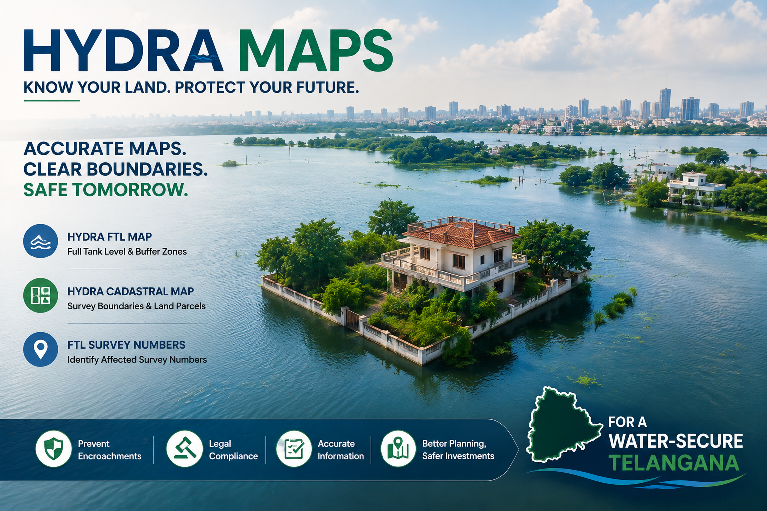
What is a Hydra FTL Map?
The Hydra FTL Map refers to the digitized Full Tank Level (FTL) boundary map of water bodies in Telangana. It is developed using the Hydra GIS platform, which helps identify whether a land parcel falls inside or near a lake, pond, or tank area. These maps are used by the Irrigation Department and HMDA to prevent encroachments, guide urban planning, and monitor constructions near lakes. FTL limits are crucial in checking land usage in sensitive water zones.
What is a Hydra Cadastral Map?
The Hydra Cadastral Map provides survey number-wise land details around lakes and water bodies. It helps in identifying ownership, legal status, and proximity to FTL zones, ensuring proper land management and regulation.
What are FTL Survey Numbers?
FTL Survey Numbers are the plot numbers that fall inside or touch the Full Tank Level boundary of a notified lake or pond in Telangana. These survey numbers are flagged for restricted development under various government orders such as HMDA norms. You can check if a survey number is affected by FTL using this document, especially if you plan to:
- Buy or sell land
- Apply for construction approval
- Avoid legal issues due to encroachment
What Are Buffer Zones Around FTL?
Buffer zones are the regulated areas around a lake or tank’s FTL boundary, where certain land use or construction is either restricted or requires special permission. The buffer zone typically ranges from 30 meters to 100 meters, depending on:
- Type of water body (major/minor tank)
- Applicable urban development rules (e.g., HMDA)
- Environmental guidelines
Buffer zones help protect water bodiesfrom pollution, erosion, and encroachment
How to Check and Download Hydra FTL Map ,Cadastral Map and FTL Survey Numbers Online in Telangana ?
You can easily checkHydra FTL Map, Cadastral Map, and FTL survey numbersusing mypatta
Steps to Download through mypatta:
- Open mypatta and log in or sign up if needed.
- Go to property documents, ensure “Telangana” is selected as the state, then tap the “Hydra FTL Map”icon or “Hydra Cadastral Map”icon or “FTL Survey Numbers ” icon
- Enter required Information : District, Mandal and Village
- Proceed to get the document
- Once Hydra FTL Map or Cadastral Map or FTL Survey Numbers are available to download, tap “View Document”. You can now save or share or download this document in PDF on your device.
Use Cases of Hydra FTL Maps in Telangana
- Verify if land falls in lake zone or buffer area before property purchase.
- Ensure construction and layout plans avoid restricted water body zones.
- Support urban planning by identifying eco-sensitive and no-construction zones.
- Use as legal evidence in lake encroachment or zoning violation cases.
- Identify and act against illegal occupation of lakebeds and FTL-affected areas.
- Help protect lakes and tanks by preventing pollution and waterlogging.
Use Cases of Hydra Cadastral Maps in Telangana
- Overlay FTL boundaries with village survey numbers for accurate lake zone mapping.
- Verify if a specific land parcel is inside or near a notified water body.
- Help builders design layouts away from Full Tank Level and buffer zones.
- Used in legal disputes involving lake encroachments or boundary violations.
- Assist government agencies in monitoring and protecting lake surroundings.
- Cross-check land ownership records with actual geographic lake boundaries.
Use Cases of FTL Survey Numbers in Telangana
- Check if land falls within a lake’s Full Tank Level before purchase.
- Avoid construction on restricted or protected water body zones.
- Required during layout and building plan approvals by HMDA/GHMC.
- Used in court cases and disputes involving lake encroachments.
- Helps urban planners identify and preserve lake zones.
Frequently Asked Questions (FAQs)
- 1.What is HYDRA?+
HYDRA (Hyderabad Disaster Response and Asset Protection Agency) manages public assets, prevents encroachments, and handles disaster risks in Hyderabad.
- 2.What documents should I check before buying land near a lake?+
Always verify the Hydra FTL Map, Hydra Cadastral Map, and government land records to avoid legal issues
- 3.What happens if a property falls within the FTL boundary?+
If a property falls within the FTL boundary, it may be declared illegal, leading to restrictions on construction, potential demolition, and risks of flooding during heavy rains
- 4.What is the meaning of preliminary notification and final notification in hydra maps?+
Preliminary notification is a draft announcement marking land under FTL or buffer zones, allowing public objections or corrections. Final notification confirms these boundaries after review, making them legally binding and restricting new constructions in those zones
- 5.Can I purchase land shown in the Cadastral Map?+
Yes, but you must verify if the land is outside the FTL boundary before buying.
- 6.How are FTL and Buffer Zones determined?+
HMDA defines these zones using historical water levels, surveys, and environmental studies to protect water bodies from encroachment.
- 7.What does it mean if a survey number is listed in the FTL or Buffer Zone?+
It means the land is either fully or partially affected by the water body, making it subject to government regulations that may restrict construction or development.
Shree Shreya
Shree Shreya is a content strategist with 3+ years of experience in real estate and digital content creation. She simplifies land records and property documentation through clear, practical insights.