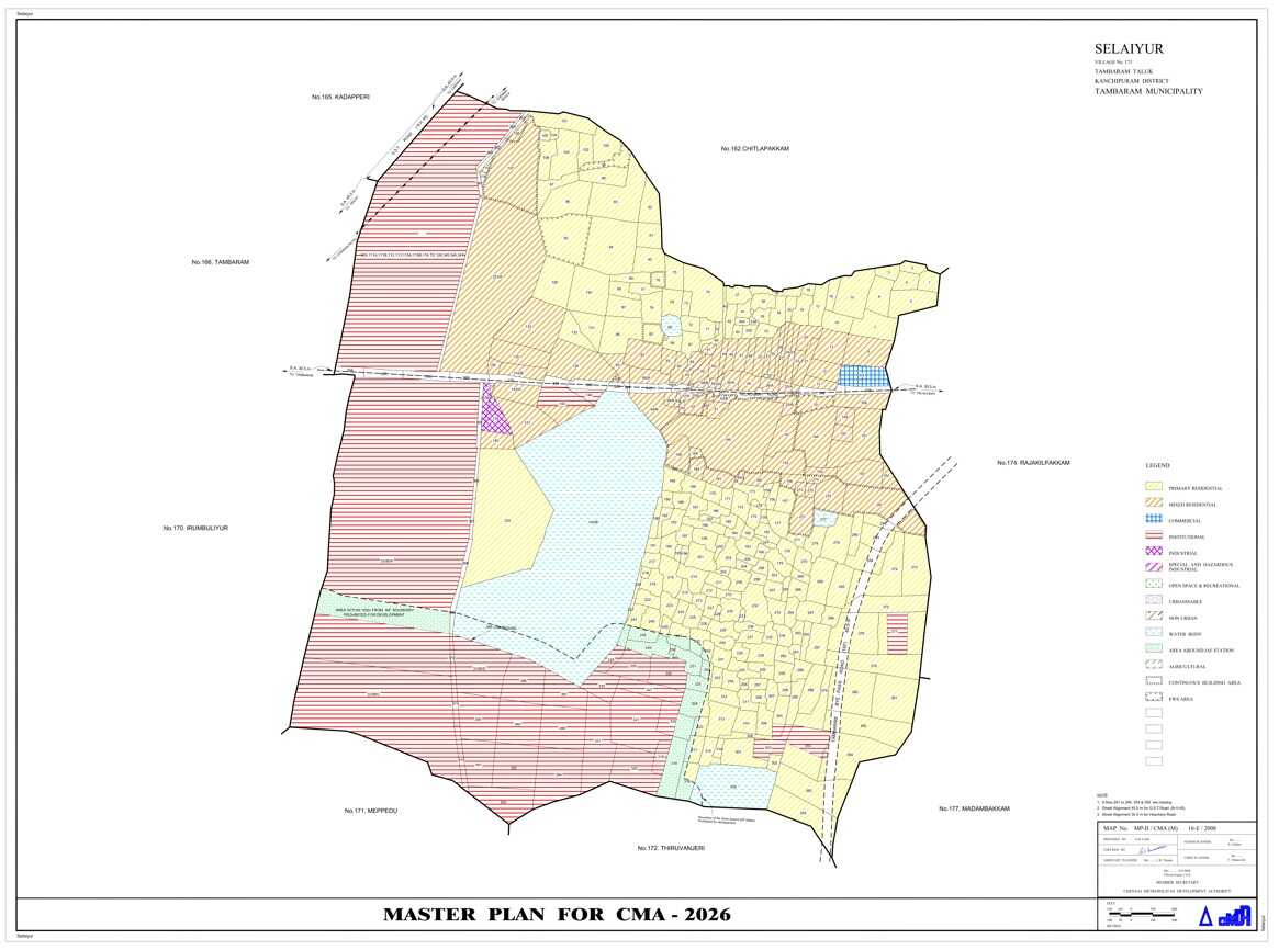
The CMDA (Chennai Metropolitan Development Authority) Land Use Map shows the official zoning classification of land within the Chennai Metropolitan Area. It categorizes land into residential, commercial, industrial, institutional, and other use types as per the master plan. This map helps guide development and ensures that land usage aligns with city planning regulations.
Happy customers
Docs downloaded
Safe & secure
What is CMDA?
The Chennai Metropolitan Development Authority (CMDA) is a Tamil Nadu Government body that regulates development in Chennai through a Master Plan defining land use.
Is the CMDA map legally valid?
Yes, it is an official planning document and is used by government bodies for approvals and enforcement.
Can I build on land marked as agricultural?
Only after obtaining approval for land use conversion from CMDA or relevant authorities.
Does CMDA land use zoning affect loan approval from banks?
Yes, banks often check zoning to ensure the land is approved for the intended purpose (e.g., housing loan for residential zone).
Does the CMDA Land Use Map show road widening or public purpose zones?
Yes, it may mark areas reserved for future infrastructure like road widening, schools, parks, or government use.