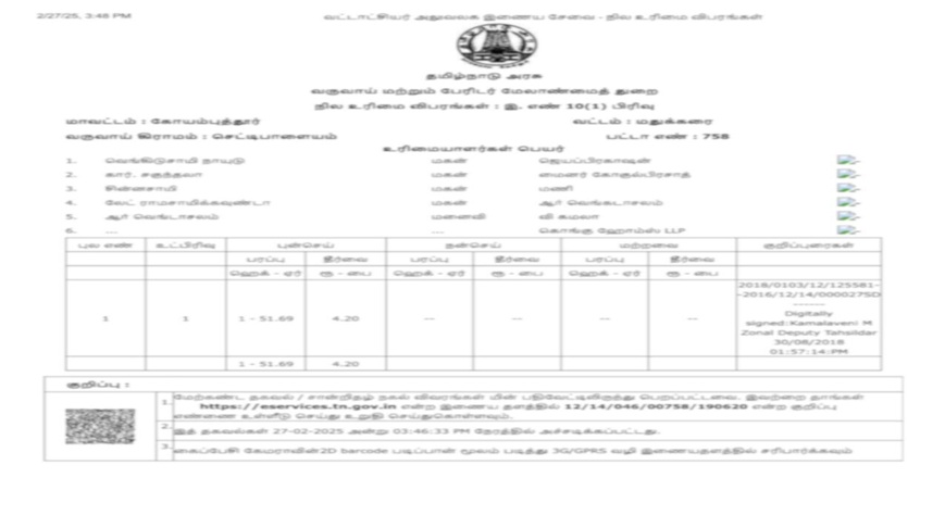
What are Survey Documents in Karnataka?
Survey documents in Karnataka are official land records that detail the physical boundaries, dimensions, and geographical features of land parcels. These land survey documents Karnataka are prepared during official land surveys conducted by the Karnataka government survey department. These include:These include:- Survey number and Hissa number
- District,Village, Taluk, and Hobli details
- Total area and boundary lines
- Classification (e.g., cultivable land, wasteland)
- Soil type, irrigation source, and revenue rate
Key Features of Karnataka Survey Documents
- Official Boundary Record: : Confirms the exact size and limits of your land based on survey documents online Karnataka.
- Land Classification: Identifies whether the land is agricultural, barren, or residential.
- Essential for Property Transactions: Valid proof of land details for buyers, sellers, and banks.
- Prevents Land Disputes: Helps resolve encroachment and inheritance issues.
How to Get Karnataka Survey Documents Online?
You can get the Survey Documents easily through mypatta —without visiting the Revenue Department officeSteps to get Karnataka Survey Documents from mypatta:
- Open mypatta and log in or sign up if needed.
- Go to property documents, ensure “Karnataka” is selected as the state, then tap the “Survey Documents” icon.
- Enter land details like District ,Taluk ,Village, Survey Number, Surnoc and Hissa Number.
- Tap Search
- Once Survey Documents are available to download, tap “View Document”. You can now save or share or download this document in PDF on your device.
What Information Does Karnataka Survey Documents Contain?
- Survey & Hissa numbers
- Location (District,Village, Hobli, Taluk)
- Total extent and mapped boundaries
- Land classification (e.g., wet/dry, cultivable/waste)
- Water sources and soil details
- Assessed value and revenue rate
- Landowner and usage (in some cases)
Survey Documents vs Sale Deed vs Encumbrance Certificate (EC):
In Karnataka, Survey Documents show the land measurement and other survey records that were noted during surveys but doesn’t prove ownership or list legal claims. A Sale Deed confirms who legally owns the property, while an Encumbrance Certificate (EC) reveals if there are any loans or legal claims on it. For property verification, all three documents can be essential—they each serve a unique purpose.Uses of Survey Documents in Karnataka
- Buying/Selling Property: Confirms exact size and avoids encroachment issues.
- Property Partition/Inheritance: Helps divide land accurately between heirs.
- Court Disputes: Used as legal evidence for boundary or ownership conflicts.
- Mutation & Registration: Required for updating land ownership after a sale or inheritance.
- Construction Planning: Surveyors and engineers use it to align site work with legal records.
- Agricultural Loans: Helps banks verify cultivable land during subsidy or loan approval.
Frequently Asked Questions (FAQs)
Are Survey Documents legally valid
Yes, They are official government records and are legally valid for all land-related matters
Why are Survey Documents important?
They help confirm land ownership, settle disputes, facilitate transactions, and obtain necessary government approvals.
Are survey documents required for land conversion?
Yes, survey documents are necessary for converting agricultural land to non-agricultural purposes, as they confirm land boundaries and classification.
What types of survey documents are available in Karnataka?
Karnataka offers a range of survey documents, including:- 1) Survey Sketch: A graphical depiction of land boundaries, 2) Tippan: Detailed records of field measurements, 3) Akarband: A document outlining land classification, 4) Podi: Records of land parcel subdivisions ,etc.
What is the difference between Survey Documents and RTC?
Survey Documents focus on land boundaries and physical features, while RTC provides details about ownership, land usage, and crop information for agricultural land.
Key Takeaway
- Karnataka Survey Documents are essential whether you’re buying land, applying for a loan, or resolving a boundary issue.
- They provide clear, official records of your property’s dimensions, boundaries, and land use.
- With mypatta, accessing Karnataka Survey Documents is fast, secure, and fully online.
- Avoid disputes and delays by downloading your Karnataka Survey Documents digitally today.
Other Blog Links
2.https://mypatta.in/blog/rtc-pahani-in-karnataka-view-land-records-online-know-its-purpose-and-faqs/
4.https://mypatta.in/blog/akarband-in-karnataka-how-to-check-and-download-it-online-its-purpose-faqs/
6.https://mypatta.in/blog/khata-extract-in-karnataka-how-to-download-it-onlineits-purpose-faqs/
7.https://mypatta.in/blog/land-survey-sketch-in-karnataka-how-to-download-it-onlineits-purpose-faqs/
9.https://mypatta.in/blog/mutation-record-in-karnataka-how-to-download-it-online-its-purpose-faqs/
10.https://mypatta.in/blog/e-swathu-form-11-b-in-karnataka-how-to-download-it-online-its-purpose-faqs/
11.https://mypatta.in/blog/bbmp-ekhata-in-bangalore-how-to-download-it-online-its-purpose-faqs/


