What is a Survey Sketch in Karnataka?
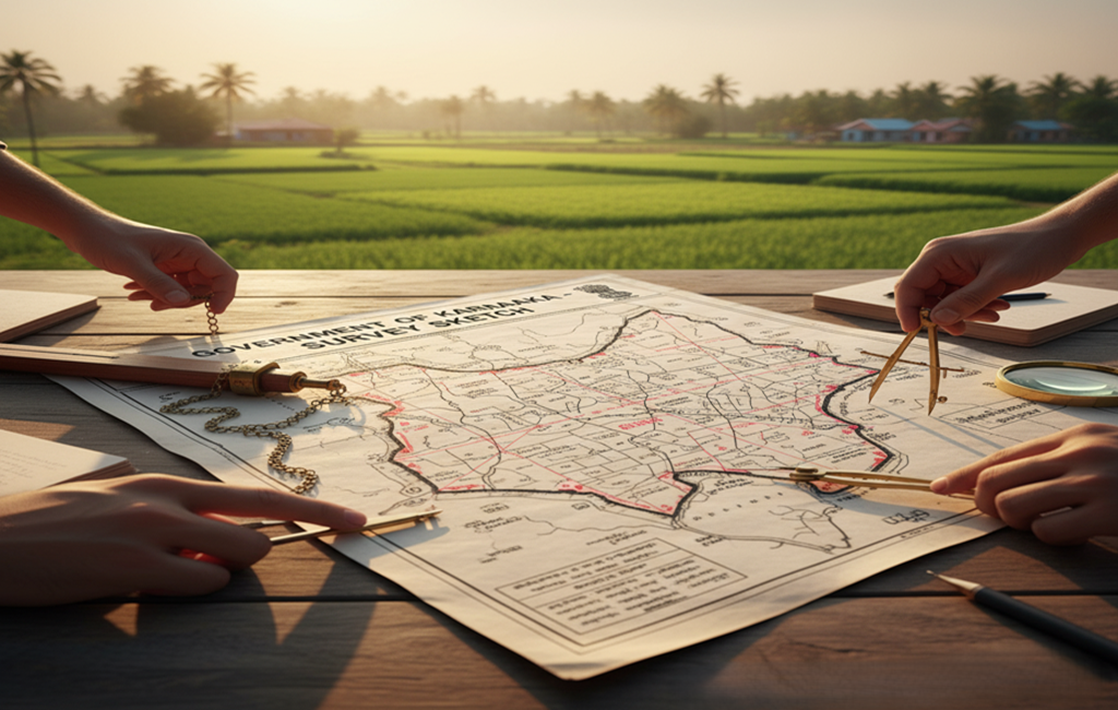
A Survey Sketch is a map or diagram that shows the boundaries, shape, and measurements of a land parcel based on its Survey Number. It is issued by the Survey Settlement and Land Records Department of Karnataka.What information Does a Survey Sketch Contain?
- Survey Number and Sub-division Numbers
- Land Dimensions and Boundary Lines
- North Direction & Compass Markings
- Neighboring Plot Details
- Extent of Land (in Acres/Guntas)
- Village, Taluk, and District Name
Why is a Survey Sketch Important in Karnataka?
- Confirms the size and shape of the land
- Used for layout approval and land conversion
- Helps resolve boundary disputes or encroachments
- Required for mutation, land registration, and RTC updates
How to Download Survey Sketch Online?
You can get the Land Survey Sketch online easily via mypatta.Steps to Download Survey Sketch Online
- Open mypatta and log in or sign up if needed.
- Go to property documents, ensure “Karnataka” is selected as the state, then tap the “Survey Sketch” icon.
- Enter Required Information : District,Taluka,Hobli,Village ,Survey Number,Surnoc and Hissa Number
- Tap “Search”
- Once Survey Sketch is available to download, tap “View Document”. You can now save or share or download this document in PDF on your device.
Use Cases of Survey Sketch in Karnataka
- Property Sale – Verify land boundaries before selling or purchasing to avoid disputes.
- Land Subdivision – Essential when dividing large land parcels into smaller plots for resale or inheritance.
- Agricultural Planning – Helps in dividing land among family members or planning irrigation systems.
- RTC & Mutation – Needed while applying for ownership changes or updating land records.
- Court Disputes – Acts as evidence in legal matters involving boundary or encroachment issues.
- Construction – Required for building plan approval, layout design, and boundary marking.
- Land Acquisition – Used by government bodies to acquire land for public infrastructure projects.
- Land Conversion (DC Conversion) – For converting agricultural land to non-agricultural use.
- Bank Loan Sanction – Banks ask for a Survey Sketch along with RTC for verifying property dimensions and legal clarity.
- GIS Mapping & Urban Planning – Used by planning authorities for digitizing land and mapping village-level layouts.
Difference Between Survey Sketch and RTC (Pahani)
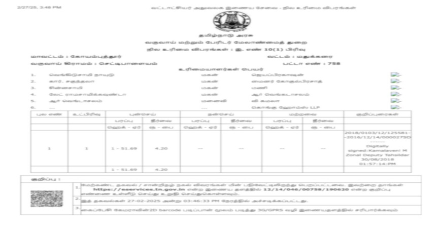
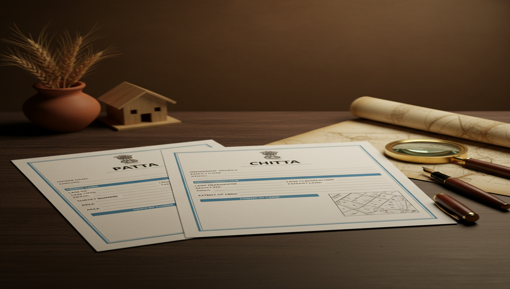
The Survey Sketch is a map that shows the boundaries, shape, and measurement of land, used for planning, construction, and disputes. It is issued by the Survey Department .The RTC (Pahani) is a text record showing ownership, land type, and crop details, used for loans, mutation, and legal proof.Frequently Asked Questions (FAQs)
1.Is Survey Sketch the same as a village map?
No. A Survey Sketch is plot-specific, while a village map shows an overview of all survey numbers in the village.2. Is the Survey Sketch accepted by banks?
Yes, most banks accept the Survey Sketch along with RTC as part of the loan verification process, especially for agricultural or open land.3.Is Survey Sketch required for land registration in Karnataka?
While not always mandatory, having a Survey Sketch helps verify boundaries and is often asked for during land registration or property transfer, especially in disputed or irregular plots.4.Does every survey number have a sketch?
Not always. Older or disputed survey numbers may not have a ready sketch. In such cases, you must apply for a re-survey.5.Can I use a Survey Sketch for fencing my land?
Yes, a Survey Sketch helps identify boundaries, making it useful for safe and accurate fencing without disputes.Key Takeaway
- Survey Sketch shows the exact land shape, size, and boundaries in Karnataka.
- Essential for buying property, construction planning, and boundary verification.
- Helps prevent land disputes by clearly mapping the plot limits.
- Always verify the Survey Sketch before any land-related transactions


