The Akarband document is an essential component of Karnataka’s land revenue system. It serves as a comprehensive record of land ownership, boundaries, and other vital characteristics, making it crucial during transactions and property disputes. For farmers and landowners, having an Akarband can simplify the process of establishing legal rights over their land.
Understanding the components and significance of an Akarband can greatly benefit anyone involved in land dealings in Karnataka. This document not only provides detailed information about the land but also plays a key role in legal matters and ownership verification, impacting decisions related to agriculture and real estate.
Obtaining an Akarband is a straightforward process that can be initiated online, aligning with the state’s aim to enhance transparency and efficiency in land records. Those who navigate this system effectively can ensure their rights are protected and facilitate smoother transactions.
Key Takeaways
- The Akarband document details land ownership and boundaries in Karnataka.
- It is vital for legal verification and property transactions.
- The online process for obtaining an Akarband enhances accessibility for landowners.
Understanding Akarband Documents
Akarband documents serve a crucial role in Karnataka’s land record system, encapsulating essential details about land parcels. This section explores the definition and significance of these documents alongside their historical background.
Definition and Significance
The Akarband is a fundamental land revenue document in Karnataka. It provides a concise overview of a property’s characteristics, including its dimensions, classification, and tax obligations.
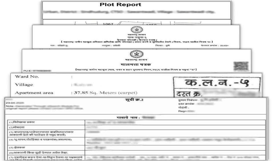
The document typically includes geometric representations showing the total extent of the land, making it easier to understand boundaries and dimensions clearly.
For stakeholders such as farmers, real estate developers, and government officials, the Akarband is essential for determining land use designations—whether agricultural, residential, or commercial.
It is maintained by the Revenue and Survey Departments, ensuring it is a trusted resource for legal and administrative purposes.
Historical Background
The origins of the Akarband can be traced back to the efforts of the British colonial administration in India. The need for organized land records became evident during the 19th century.
This initiative aimed to streamline tax collection and land management across the region. Over time, the Akarband evolved into a structured document that highlights land classification and agricultural productivity.
The current version reflects ongoing administrative reforms and modernization efforts. Today, it is a digital resource accessible through various online platforms, enhancing transparency and efficiency in land dealings.
The historical significance of the Akarband highlights its development in response to changing agricultural policies and land revenue systems in Karnataka.
Components of an Akarband Document
An Akarband document is essential for landowners in Karnataka, detailing important information related to land properties. The document comprises several key components that outline land details, ownership information, and survey numbers, which provide a comprehensive understanding of each land parcel.
Land Details
The land details section of an Akarband document includes critical information about the property itself. This encompasses the total area of the land measured in acres or hectares.
Moreover, it provides the precise boundary descriptions, ensuring clarity on the specific measurements and limits of the parcel.
Essential attributes such as the type of land—whether agricultural, residential, or commercial—are also indicated.
This ensures that all stakeholders are aware of the land’s classification and its permissible uses, which is crucial for buyers, sellers, and regulatory bodies.
Ownership Information
Ownership information is another pivotal part of the Akarband document. This section specifies the name(s) of the landowner(s) along with any co-owners listed in the records.
Details typically include the relationship of each owner to the land, which is important for inheritance and legal matters.
Additionally, it may specify any encumbrances or liens against the property, ensuring potential buyers have a clear understanding of any financial claims tied to the land.
This clarity facilitates smoother transactions and helps prevent disputes regarding ownership.
Survey Numbers
Survey numbers hold considerable importance in identifying land parcels accurately. Each plot of land in Karnataka is assigned a unique survey number, which is crucial for record-keeping and legal identification.
This number aids in linking the property to state land revenue records, ensuring easy access to documents like the Akarband.
In many cases, survey numbers also provide information on adjacent lands, helping to delineate property boundaries effectively.
Thus, these numbers are vital for mapping and confirmed ownership, safeguarding against misrepresentation or overlaps with neighboring properties.
The Process of Obtaining an Akarband
Obtaining an Akarband in Karnataka involves specific steps and requires certain documents. Understanding the application procedure and the relevant governmental departments can facilitate a smoother process.
Application Procedure
To apply for an Akarband, individuals can utilize the Bhoomi online portal or visit the local revenue office. The online method is convenient and allows applicants to fill out the necessary forms from the comfort of their home.
- Online Application:
- Visit the Bhoomi portal.
- Register as a user, if not already done.
- Navigate to the Akarband application section and fill in the required details.
- Offline Application:
- Alternately, visit the Village Accountant or Revenue Inspector’s office.
- Submit a completed application form in person for processing.
After submission, applicants might need to pay a nominal fee, which varies by location.
Required Documents
Several documents are essential for acquiring an Akarband. These ensure that the application is complete and valid. Applicants should prepare the following:
- Identity Proof: Any government-issued ID such as Aadhaar, voter ID, or passport.
- Land Ownership Documents: Titles or previous land records proving ownership.
- Revenue Receipts: Recent receipts indicating payment of land revenue.
- Application Form: Properly filled form either online or offline.
Having these documents ready minimizes delays during the application process. Incomplete submissions may lead to rejection or additional requests for information.
Governmental Departments Involved
The primary department responsible for issuing the Akarband is the Karnataka Revenue Department. Within this department, specific roles include:
- Village Accountant: Handles local applications and initial verifications.
- Revenue Inspector: Assists in resolving issues and approves applications.
- Bhoomi Monitoring Cell: Manages online applications and ensures data integrity in the Bhoomi portal.
Coordination with these departments is crucial. They guide the applicants and manage the approval process for the Akarband. Engaging with them can lead to faster resolution and clarity on any requirements.
Legal Implications
The Akarband document has significant legal implications, particularly concerning land disputes and its role in property transactions. Understanding these aspects is crucial for anyone involved in land dealings in Karnataka.
Disputes and Resolution
The Akarband document serves as an essential evidence in land disputes. It contains detailed information about land boundaries, measurements, and ownership, making it a key resource during legal confrontations. When disputes arise, the document can help clarify ownership rights and land use.
In cases where conflicts occur, parties can refer to the Akarband to verify claims. If discrepancies arise, resolution mechanisms often involve mediation or legal intervention. The accuracy of the document can affect the outcome of the dispute, reinforcing the importance of ensuring its validity and updates.
Role in Property Transactions
In property transactions, the Akarband document plays a vital role. It provides crucial information about the land, including its extent and any encumbrances. Buyers and sellers rely on this document to ascertain the legitimacy of the property being transferred.
Before finalizing any transaction, potential buyers must obtain the Akarband to ensure there are no hidden issues. It acts as a safeguard against future legal complications, confirming that the property is free of disputes. Misrepresentation in the Akarband could lead to severe legal repercussions, emphasizing the need for thorough due diligence in the buying process.
Frequently Asked Questions
This section addresses common queries related to the Akarband document in Karnataka, covering downloading procedures, online access, and comparisons with other land documents.
How can I download the Akarband document in Karnataka?
To download the Akarband document in Karnataka, one can visit the official Bhoomi portal. The portal allows users to access various land records, including the Akarband, after entering the necessary details regarding the land parcel.
What are the steps to access the Akarband document online in Karnataka?
Accessing the Akarband document online involves a few key steps. Users must log into the Bhoomi portal, navigate to the land records section, and provide specific details such as the survey number or owner’s name to retrieve the document.
How to request an Akarband document for a land parcel in Karnataka?
To request an Akarband document, individuals need to submit a formal application at the local revenue office or online through the Bhoomi portal. Providing necessary information about the land parcel is essential for processing the request efficiently.
What is the difference between Akarband and Tippani in Karnataka’s land records?
The Akarband provides detailed information about a land parcel’s boundaries and measurements, while Tippani offers additional remarks or notes related to the property. Understanding the distinction helps in correctly interpreting land records for various purposes.
How can I obtain historical land documents in Karnataka?
Historical land documents can be obtained from the respective revenue offices or through specific online portals set up for digitized records. These documents often provide valuable insights into property ownership and transactions over time.
What is the significance of the atlas in Karnataka land records?
The atlas in Karnataka land records serves as a visual representation of land parcels, detailing boundaries and layout. It aids in identifying plots of land and verifying measurements, playing a crucial role in land management and disputes.