What is a CMDA Land Use Map?
A CMDA Land Use Map is an official urban planning document issued by the Chennai Metropolitan Development Authority (CMDA) to show the zoning classification of a particular property or land. It helps property owners, buyers, and developers understand whether the land is marked for residential, commercial, industrial, institutional, or agricultural use. This ensures that construction or development follows approved regulations.
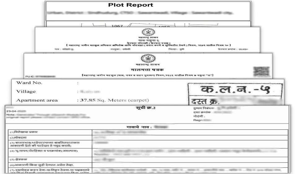
Key Features of CMDA Land use map in Tamil Nadu
The CMDA Land Use Map is essential for anyone dealing with property in the Chennai Metropolitan Area because it provides legal clarity and protects investments. It serves multiple purposes such as:
- Zoning Verification – Confirms whether the land is classified as residential, commercial, industrial, or mixed-use.
- Property Purchase & Sale – Helps buyers and sellers ensure the property’s usage is legal before a transaction.
- Building Plan & Construction Approval – Required to obtain CMDA or local body permission for new buildings or developments.
- Loan & Mortgage Processing – Banks demand CMDA zoning details to process property loans.
- Legal Compliance & Dispute Resolution – Prevents future litigation by verifying that the land is used as per the approved master plan.
- Government Approvals & Conversion – Needed when converting agricultural land to residential or commercial use.
In short, the CMDA Land Use Map safeguards your property investment by confirming that your land usage follows planning and development regulations.
How to Check CMDA Land Use Map Online
You can easily check the CMDA Land Use Map through the mypatta platform without visiting the CMDA office.
Steps to Download CMDA Land Use Map Online:
- Open mypatta and log in or sign up if required.
- Ensure “Tamil Nadu” is selected as the state and tap “CMDA Land use map” icon
- Enter the required details.
- Tap on “Get Land Use”.
- Once the CMDA Land Use map is available to download, tap “View Document”. You can now save or share or download this document in PDF on your device.
CMDA Land Use vs. Building Approval
- CMDA Land Use Map – Shows the official zoning and permitted land use.
- Building Approval – Separate permission for construction, based on land use classification.
👉 Always check the land use map first before applying for building approval.
Frequently Asked Questions (FAQs)
1.What is CMDA?
The Chennai Metropolitan Development Authority (CMDA) is a Tamil Nadu Government body that regulates development in Chennai through a Master Plan defining land use.
2.Is the CMDA map legally valid?
Yes, it is an official planning document and is used by government bodies for approvals and enforcement.
3.Can I build on land marked as agricultural?
Only after obtaining approval for land use conversion from CMDA or relevant authorities.
4.Does CMDA land use zoning affect loan approval from banks?
Yes, banks often check zoning to ensure the land is approved for the intended purpose (e.g., housing loan for residential zone).
5.Does the CMDA Land Use Map show road widening or public purpose zones?
Yes, it may mark areas reserved for future infrastructure like road widening, schools, parks, or government use.
Key Takeaway
- Helps identify the exact land use and zoning classification in Chennai Metropolitan Area.
- Essential for verifying whether a property is approved for residential, commercial, or industrial use.
- Prevents legal issues by ensuring the land complies with CMDA regulations.
- Easily search and download CMDA Land Use Map online through mypatta for quick verification.